

- Usage in publication:
-
- Arkwright group
- Modifications:
-
- Original reference
- AAPG geologic province:
-
- Appalachian basin
Summary:
Pg. 9-19; I.H. Tesmer, 1954, Hobbies, v. 35, no. 2, p. 30, 31. Arkwright group. Succession of black and gray shales with some thin siltstone layers. Thickness 1,450 feet. Comprises Canadaway (lower) and Chadakoin formations; thus includes all rocks from base of Dunkirk shale to top of Ellicott shale. Underlies Conewango group; overlies Seneca group. Age is Late Devonian.
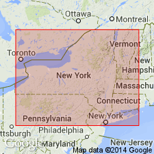
Named from Arkwright Twp., Chautauqua Co., western NY.
Source: US geologic names lexicon (USGS Bull. 1200, p. 135).
For more information, please contact Nancy Stamm, Geologic Names Committee Secretary.
Asterisk (*) indicates published by U.S. Geological Survey authors.
"No current usage" (†) implies that a name has been abandoned or has fallen into disuse. Former usage and, if known, replacement name given in parentheses ( ).
Slash (/) indicates name conflicts with nomenclatural guidelines (CSN, 1933; ACSN, 1961, 1970; NACSN, 1983, 2005, 2021). May be explained within brackets ([ ]).