- Usage in publication:
-
- Arcente member
- Modifications:
-
- First used
- Dominant lithology:
-
- Siltstone
- Shale
- AAPG geologic province:
-
- Orogrande basin
Summary:
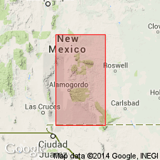
First use of name; intent to name not stated. Area of report is west face of Sacramento Mountains; type area measured in Deadman Canyon, sec 3, T17S, R10E, Otero Co, NM in Orogrande basin. West face Sacramento Mountains is a fault scarp; beds show low angle east dip. North of Alamogordo the normal structure is complicated with an anticlinal fold which carries Mississippian strata at level of valley floor. Mississippian formations are underlain by Percha formation of Late Devonian age. Mississippian rocks formerly called Percha here removed from Percha and divided into: Caballero formation (new); and Lake Valley formation (revised)--itself divided into three units (ascending): Alamogordo, Arcente, and Dona Ana members (all new). Arcente consists of thin, evenly bedded, gray, relatively unfossiliferous, shaly siltstones. Basal portion is over 50 percent shale; upper portion is slightly thicker bedded and carries much less shale. 230 ft thick in type area. Overlies Alamogordo member and underlies Dona Ana member, both of Lake Valley. The Mississippian beds in Sacramento Mountains area are better developed than in Lake Valley area at Lake Valley, Sierra Co, Orogrande basin. Caballero formation is present in both areas, but Lake Valley beds at Lake Valley are all correlated with Alamogordo member as developed in Sacramento Mountains. Arcente and Dona Ana members not present at Lake Valley. Is Osage (Mississippian) age.
Source: GNU records (USGS DDS-6; Denver GNULEX).

- Usage in publication:
-
- Arcente member
- Modifications:
-
- Areal extent
- AAPG geologic province:
-
- Orogrande basin
Summary:
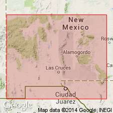
Pg. 11 (fig. 4), 15. Arcente member of Lake Valley formation. Overlies Tierra Blanca member (new). Thickness 230 feet in Sacramento Mountains, Otero County, southern New Mexico; generally less than 25 feet in San Andres Mountains, Dona Ana County, southern New Mexico. Not present in Mimbres Range, Cooks Mountains, and Silver City area. [Age is Early Mississippian (Osage).]
Source: US geologic names lexicon (USGS Bull. 1200, p. 126); supplemental information from GNU records (USGS DDS-6; Denver GNULEX).
For more information, please contact Nancy Stamm, Geologic Names Committee Secretary.
Asterisk (*) indicates published by U.S. Geological Survey authors.
"No current usage" (†) implies that a name has been abandoned or has fallen into disuse. Former usage and, if known, replacement name given in parentheses ( ).
Slash (/) indicates name conflicts with nomenclatural guidelines (CSN, 1933; ACSN, 1961, 1970; NACSN, 1983, 2005, 2021). May be explained within brackets ([ ]).

