- Usage in publication:
-
- Arbuckle limestone*
- Modifications:
-
- Original reference
- Dominant lithology:
-
- Limestone
- Shale
- Chert
- AAPG geologic province:
-
- South Oklahoma folded belt
Summary:
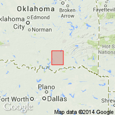
Arbuckle limestone. Chiefly massive and thin-bedded, white and light-blue limestones with cherty concretions, but with 500 to 600 feet of dull-blue, massive and thin limestones in lower part, and 200 to 300 feet of thin, sandy limestones at base. Total thickness 4,000 to 6,000 feet. Overlies Reagan sandstone and underlies Simpson formation.
Named from Arbuckle Mountains, of which it composes major part of central mass.
Source: US geologic names lexicon (USGS Bull. 896, p. 66).
- Usage in publication:
-
- Arbuckle limestone*
- Modifications:
-
- Areal extent
- Dominant lithology:
-
- Limestone
- Dolomite
- AAPG geologic province:
-
- South Oklahoma folded belt
Summary:
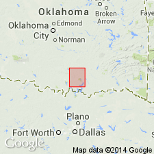
Arbuckle limestone. 5,000 to 6,000 feet thick, consists of (descending): (1) medium and thin-bedded limestone, 450 feet; (2) massive, compact, magnesium limestone, 3,500 to 4,000 feet; (3) thin-bedded granular limestone and compact blue limestone, 250 feet; (4) heavy-bedded, dull bluish, and cream-colored dolomites, 300 to 400 feet; (5) thin-bedded siliceous limestone, 50 feet.
Source: US geologic names lexicon (USGS Bull. 896, p. 66).
- Usage in publication:
-
- Arbuckle limestone*
- Modifications:
-
- Revised
Summary:
Pg. 624, 642, 661, 666, pl. 27. Introduced Honey Creek limestone member of Reagan sandstone for limestones which he stated were originally included in Arbuckle limestone but are now transferred to Reagan sandstone.
Source: US geologic names lexicon (USGS Bull. 896, p. 66).
- Usage in publication:
-
- Arbuckle limestone*
- Modifications:
-
- Areal extent
Summary:
Followed Taff's original definitions of Arbuckle limestone and Reagan sandstone and included Ulrich's Honey Creek limestone in Arbuckle limestone.
[GNC remark (ca. 1938, US geologic names lexicon, USGS Bull. 896, p. 66): In 1932 Ulrich raised Honey Creek limestone to rank of a formation. (See 1932 entry under Reagan sandstone, also see under Honey Creek limestone.) The USGS now recognizes Honey Creek limestone as a distinct formation, which is a slight restriction of Arbuckle limestone.]
Source: US geologic names lexicon (USGS Bull. 896, p. 66).
- Usage in publication:
-
- Arbuckle group*
- Modifications:
-
- Revised
Summary:
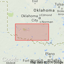
Pg. 55-56. Arbuckle group. Rank raised to group. Subdivided into (ascending) Fort Sill limestone, Royer marble (dolomite), Signal Mountain limestone, Chapman Ranch dolomite, McKenzie Hill limestone (new), Wolf Creek dolomite (new), Cool Creek limestone, Alden limestone (new), and West Spring Creek formation. Thickness about 9,000 feet. Underlies Simpson group; overlies Timbered Hills group (new).
Source: US geologic names lexicon (USGS Bull. 1200, p. 124).
- Usage in publication:
-
- Arbuckle group*
- Modifications:
-
- Revised
- AAPG geologic province:
-
- South Oklahoma folded belt
Summary:
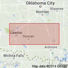
Pg. 1311-1321; 1939, Oklahoma Geol. Survey Circ., no. 22, p. 15, 16 (table 1), 20-23. Arbuckle group. Divided into nine formations, four of which are Upper Cambrian and five Lower Ordovician. Upper Cambrian formations (ascending): Fort Sill, Royer dolomite, Signal Mountain, and Butterly dolomite (substituted for Chapman Ranch as name for the upper dolomite, and Chapman Ranch placed as basal member of McKenzie Hill formation). Lower Ordovlcian formations (ascending): McKenzle Hill, Strange dolomite (replaces preoccupied Wolf Creek formation). Cool Creek, Kindblade (replaces preoccupied Alden), and West Spring Creek.
Source: US geologic names lexicon (USGS Bull. 1200, p. 124).
- Usage in publication:
-
- Arbuckle limestone*
- Modifications:
-
- Areal extent
- AAPG geologic province:
-
- Anadarko basin
- Las Animas arch
- Las Vegas-Raton basin
Summary:
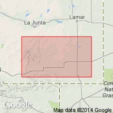
Arbuckle limestone. Extended into subsurface of Baca, Las Animas, and Otero Counties, Colorado. Consists chiefly of cream-colored to buff, finely to coarsely crystalline dolomite with white to tan dense chert. Underlies Simpson(?) group, undivided. Age is Cambrian and Ordovician.
Source: Modified from GNU records (USGS DDS-6; Denver GNULEX).
- Usage in publication:
-
- Arbuckle group*
- Modifications:
-
- Revised
- AAPG geologic province:
-
- South Oklahoma folded belt
Summary:
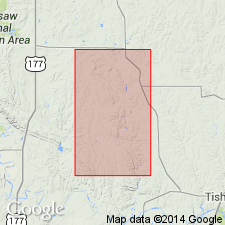
Pg. 19. Arbuckle group. Restricted to exclude four Cambrian formations which are induded in newly defined Blue Creek Canyon group. This classification credited to E.A. Frederlckson (unpub. thesis).
Source: US geologic names lexicon (USGS Bull. 1200, p. 124).
- Usage in publication:
-
- Arbuckle group*
- Modifications:
-
- Mapped 1:500k
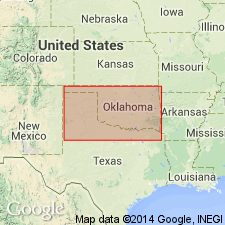
Summary:
Arbuckle group. Mapped in eight formations. This subdivision follows Decker (1939) with exception that Strange formation is omitted.
Source: US geologic names lexicon (USGS Bull. 1200, p. 124).
- Usage in publication:
-
- Arbuckle Group
- Modifications:
-
- Overview
Summary:
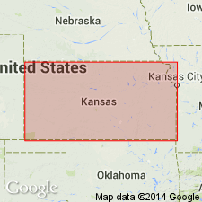
(Paleozoic Era; [Cambrian through Mississippian Systems] by E.D. Goebel, p. 13.) Arbuckle Group. Consists of Upper Cambrian and Lower Ordovician deposits; its subdivisions in Kansas being units that crop out in Missouri. Includes (ascending): Eminence Dolomite, Gasconade Dolomite, Roubidoux Formation, Jefferson City Dolomite, and Cotter Dolomite (Eminence is Upper Cambrian; other formations are Lower Ordovician). Is sometimes used for all rocks between top of Lamotte Sandstone and base of Simpson Group. Some authors restrict term to rocks of Ordovician age. Arbuckle Group (of Merriam, 1963) consists mainly of white, buff, light-gray, cream, and brown crystalline dolomite. Chert is common in the upper part. Thickens toward Oklahoma and Missouri. Total thickness exceeds 1,200 feet. Where the Lamotte Sandstone is absent, the Bonneterre Dolomite and Arbuckle rocks commonly overlie the Precambrian.
Reference cited: Merriam, D.F., 1963, "The geologic history of Kansas," Kansas Geol. Survey Bull., no. 162.
Source: Publication.
- Usage in publication:
-
- Arbuckle Group
- AAPG geologic province:
-
- Anadarko basin
- Arkoma basin
- Ouachita folded belt
Fritz, R.D., Medlock, Patrick, Kuykendall, M.J., and Wilson, J.L., 2012, The geology of the Arbuckle Group in the Midcontinent; Sequence stratigraphy, reservoir development, and the potential for hydrocarbon exploration: American Association of Petroleum Geologists Memoir, 98, p. 203-273.
Summary:
See also Ethington and others, Chap. 11, same vol., p. 275-300. Arbuckle Group. In Oklahoma includes (in general descending order) West Spring Creek Formation, Kindblade Formation, Cool Creek Formation, McKenzie Hill Formation, Butterly Dolomite, Signal Hill Formation, Royer Dolomite, and Fort Sill Limestone. Age is Late Cambrian to early Middle Ordovician (Millardian to early Whiterockian; Sunwaptan to Rangerian).
Source: Publication.
For more information, please contact Nancy Stamm, Geologic Names Committee Secretary.
Asterisk (*) indicates published by U.S. Geological Survey authors.
"No current usage" (†) implies that a name has been abandoned or has fallen into disuse. Former usage and, if known, replacement name given in parentheses ( ).
Slash (/) indicates name conflicts with nomenclatural guidelines (CSN, 1933; ACSN, 1961, 1970; NACSN, 1983, 2005, 2021). May be explained within brackets ([ ]).

