The National Geologic Map Database is migrating to a new infrastructure. We apologize for any service disruptions during this process.
|
|---|


- Usage in publication:
-
- Apache Leap Tuff*
- Modifications:
-
- Named
- Dominant lithology:
-
- Tuff
- AAPG geologic province:
-
- Basin-and-Range province
Summary:
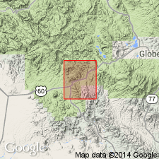
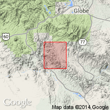
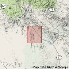
Named for Apache Leap, a prominent west-facing cliff in the central part of the quad. Type section designated in Queen Creek Canyon and Oak Flat, sec 36, T1S, R12E and secs 28, 29, 30, and 31, T1S, R13E, Pinal Co, AZ in Basin-and-Range province. Is an ash-flow sheet. Is a simple cooling unit at type. Consists of nonwelded light-gray tuff at base that grades up to densely welded black vitrophyre that is in turn overlain by densely welded tuff with a cryptocrystalline groundmass. Degree of welding decreases gradually upward. Degree of devitrification and vapor-phase crystallization increase upward. Color changes upward from light brown through red to very light gray at top. Pumice fragments less flattened at top. Phenocrysts are three-quarters plagioclase, one-tenth each quartz and biotite, trace to one-tenth sanidine, minor hornblende, magnetite, sphene, zircon, and apatite. Is 2,000 ft thick at type; averages about 500 ft thick. Mapped in east two-thirds of quad. Is younger than an unnamed Tertiary rhyolite. Is older than an unnamed Tertiary quartz monzonite porphyry. Tertiary age on basis of 20-m.y. K-Ar date.
Source: GNU records (USGS DDS-6; Denver GNULEX).
- Usage in publication:
-
- Apache Leap Tuff*
- Modifications:
-
- Age modified
- Geochronologic dating
- AAPG geologic province:
-
- Basin-and-Range province
Summary:
Age changed from Tertiary to Miocene based on a K-Ar age of 20 m.y. Is a multiple-flow single cooling unit that occurs in the northwest part of quad, Pinal Co, AZ in Basin-and-Range province. Geologic map.
Source: GNU records (USGS DDS-6; Denver GNULEX).
- Usage in publication:
-
- Apache Leap Tuff
- Modifications:
-
- Geochronologic dating
- Overview
- AAPG geologic province:
-
- Basin-and-Range province
Summary:
Has an average zircon fission-track age of 29.0 +/-0.5 m.y. and an age of 19.9 +/-0.9 K-Ar age on biotite. Occurs about 40 km east of report area in Pinal Co, AZ, Basin-and-Range province. Apache Leap may be related to rocks of the Superstition cauldron--the newly named Geronimo Head Formation and Superstition Tuff--in the Goldfield and Superstition Mountains of central AZ.
Source: GNU records (USGS DDS-6; Denver GNULEX).
- Usage in publication:
-
- Apache Leap Tuff*
- Modifications:
-
- Age modified
- AAPG geologic province:
-
- Basin-and-Range province
Summary:
Age of the Apache Leap Tuff is early Miocene.
Source: GNU records (USGS DDS-6; Menlo GNULEX).
For more information, please contact Nancy Stamm, Geologic Names Committee Secretary.
Asterisk (*) indicates published by U.S. Geological Survey authors.
"No current usage" (†) implies that a name has been abandoned or has fallen into disuse. Former usage and, if known, replacement name given in parentheses ( ).
Slash (/) indicates name conflicts with nomenclatural guidelines (CSN, 1933; ACSN, 1961, 1970; NACSN, 1983, 2005, 2021). May be explained within brackets ([ ]).