- Usage in publication:
-
- Antelope Range Formation*
- Modifications:
-
- Named
- Biostratigraphic dating
- Dominant lithology:
-
- Sandstone
- AAPG geologic province:
-
- Great Basin province
Summary:
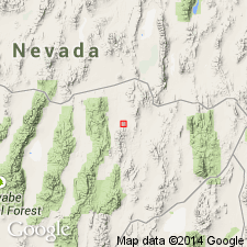
Named for outcrops in sec. 22, T16N R51E in north Antelope Range. [no type designated] Also recognized west of hill 7731 and elsewhere in south Fish Creek Range [Cockalorum Wash 15' quad] Eureka Co., NV. Composed of dark-yellowish-orange to light-brown-weathering sandstone as much as 30 m thick. In Antelope Range unconformably overlies the Kinkead Spring Limestone. In south Fish Creek Range unconformably overlies the Devils Gate Limestone. Upper contact in both areas is thrust fault. Presence of plant remains and near-shore marine and nonmarine spores suggest deposition in estuarine or deltaic environment. Age considered Early Mississippian (Osagean or younger) based on fossils [conodonts].
Source: GNU records (USGS DDS-6; Menlo GNULEX).
For more information, please contact Nancy Stamm, Geologic Names Committee Secretary.
Asterisk (*) indicates published by U.S. Geological Survey authors.
"No current usage" (†) implies that a name has been abandoned or has fallen into disuse. Former usage and, if known, replacement name given in parentheses ( ).
Slash (/) indicates name conflicts with nomenclatural guidelines (CSN, 1933; ACSN, 1961, 1970; NACSN, 1983, 2005, 2021). May be explained within brackets ([ ]).

