- Usage in publication:
-
- Aneth formation
- Modifications:
-
- Original reference
- Dominant lithology:
-
- Dolomite
- Shale
- AAPG geologic province:
-
- Paradox basin
- San Juan basin
- Black Mesa basin
Summary:
Pg. 56, 57, 58; J.C. Cooper, 1955, Four Corners Geol. Soc. Gdbk. [1st] Field Conf., p. 61-63. Aneth formation. Dark dolomite interval interbedded with varying amounts of gray, brown, and black shale, gray siltstone, and lighter dolomites. Thickness 170 feet in type well; occurs between depths of 8,161 and 8,331 feet. Thins gradually in all directions from a center just southwest of type well. Underlies McCracken sandstone (new); unconformity inferred. Overlies Ophir formation, contact unconformable. Recognized in subsurface of Utah, Arizona, Colorado, and New Mexico. Age is Late Devonian.
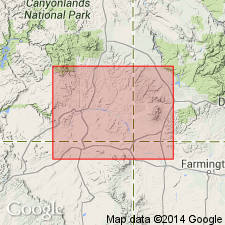
Type section (subsurface): depth-interval 8,161 to 8,331 ft, Shell Oil Bluff Unit No. 1 well, in sec. 32, T. 39 S., R. 23 E., San Juan Co., UT.
Source: US geologic names lexicon (USGS Bull. 1200, p. 99).
For more information, please contact Nancy Stamm, Geologic Names Committee Secretary.
Asterisk (*) indicates published by U.S. Geological Survey authors.
"No current usage" (†) implies that a name has been abandoned or has fallen into disuse. Former usage and, if known, replacement name given in parentheses ( ).
Slash (/) indicates name conflicts with nomenclatural guidelines (CSN, 1933; ACSN, 1961, 1970; NACSN, 1983, 2005, 2021). May be explained within brackets ([ ]).

