The National Geologic Map Database is migrating to a new infrastructure. We apologize for any service disruptions during this process.
|
|---|


- Usage in publication:
-
- Anastasia formation
- Modifications:
-
- Original reference
- Dominant lithology:
-
- Coquina
- Limestone
- AAPG geologic province:
-
- Florida platform
Summary:
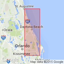
Pg. 18. The term Anastasia formation is here applied to the extensive deposit of coquina rock found along east coast of Florida. The rock is a mass of more or less water-worn shells, which in some localities are cemented to form a firm rock, but elsewhere may be slightly or not at all cemented. Some sand is frequently included in this formation and the cementing material is calcite. Typically exposed on Anastasia Island, [St. Augustine 7.5-min quadrangle, St. Johns County], also in cut made by Florida East Coast RR on Tomora Creek near Ormond, [Ormond Beach 7.5-min quadrangle, Volusia County], and along the coast at Rockledge, [Cocoa 7.5-min quadrangle, Brevard County]. Probably contemporaneous, or partly so, with Miami limestone and other Pleistocene formations along southern coast.
Source: US geologic names lexicon (USGS Bull. 896, p. 50).
- Usage in publication:
-
- Anastasia formation*
- Modifications:
-
- Revised
- Dominant lithology:
-
- Sand
- AAPG geologic province:
-
- Florida platform
Summary:
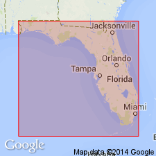
Anastasia formation. Redefined to include all marine deposits of Pleistocene age that underlie lowest plain bordering east coast of Florida, north of southern part of Palm Beach County, and also including a local facies, consisting chiefly of shell marl irregularly hardened into sandy limestone, which in some previous reports has been called "Palm Beach limestone," and which marks transition of Anastasia formation into the contemporaneous Miami oolite. Most conspicuous part of Anastasia formation is coquina containing a little quartz sand, and no doubt at some places the formation may be almost wholly quartz sand. Thickness variable; near St. Augustine the coquina is 30+ feet thick. It is probable the deposits referred to Anastasia formation are not all of same age. It is not unlikely the formation of the shell beds has been continuous since end of Pliocene, although the locus of deposition has been continually shifting. [GNC remark (ca. 1936, US geologic names lexicon, USGS Bull. 896, p. 50): The map accompanying this report applied Anastasia formation to the Pleistocene marine beds of west coast of Florida from Ten Thousand Islands as far north as Tampa Bay, and that is present accepted definition of name.]
Source: US geologic names lexicon (USGS Bull. 896, p. 50).
- Usage in publication:
-
- Anastasia formation
- Modifications:
-
- Revised
- AAPG geologic province:
-
- Florida platform
Summary:
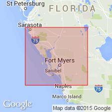
Pg. 65-67. Anastasia formation. As herein defined includes coquina, sand, sandy limestone and shelly marl of pre-Pamlico Pleistocene age that lies along both Florida east and west coasts. This excludes surficial sand of Pamlico age. Upper part of formation is contemporaneous with Miami oolite, upper part of Key Largo limestone, and Coffee Mill Hammock marl member of Fort Thompson formation, all of which might be considered as facies of Anastasia. Formation is wedge shaped, thin toward the interior and thick toward coast, where it may be as much as 60 feet thick. On west coast is a thin irregular deposit extending from Marco Island as far north as Tampa Bay; greatest thickness probably not more than 10 feet. Merges with upper marine members of Fort Thompson in Caloosahatchee River valley.
Source: US geologic names lexicon (USGS Bull. 1200, p. 92).

- Usage in publication:
-
- Anastasia Formation
- Modifications:
-
- Revised
- AAPG geologic province:
-
- Florida platform
Summary:
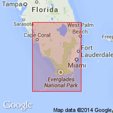
Hialeah Group (DuBar, in press) [unpub. ms.] is composed of the late Pleistocene Fort Thompson Formation, the Anastasia Formation, the Miami Limestone and the Key Largo Limestone. Formations intergrade and interfinger, especially in southeastern FL. Sandy, shelly, dominantly marine facies of the Anastasia occurs at the surface and in the subsurface along the Atlantic Coast of FL from Duval Co. southward to Miami. Average thickness of unit is about 9 m, but beneath the Atlantic Coastal Ridge, it reaches a thickness of 60 m or more. Anastasia unconformably overlies the Bermont Formation or equivalents. Surface unit or unconformably under thin Wisconsinan or Holocene deposits. Dated at 110 ka in the Cape Kennedy area by Osmond and others (1970).
Source: GNU records (USGS DDS-6; Reston GNULEX).
- Usage in publication:
-
- Anastasia Formation
- Modifications:
-
- Age modified
- AAPG geologic province:
-
- Florida platform
Summary:
In this report there are four named formations included within Pliocene time in southern FL, including the lower parts of the Caloosahatchee and Anastasia Formations, the Tamiami Formation, and the Peace River Formation of the Hawthorn Group. All are separated from each other and from younger and older units by regional unconformities. Upper part of the Anastasia formation is late Pleistocene, but it is a thick, poorly defined unit. It may be necessary to redefine the boundaries of this unit to exclude the lower section from the formation and leave only the upper Pleistocene portion.
Source: GNU records (USGS DDS-6; Reston GNULEX).
For more information, please contact Nancy Stamm, Geologic Names Committee Secretary.
Asterisk (*) indicates published by U.S. Geological Survey authors.
"No current usage" (†) implies that a name has been abandoned or has fallen into disuse. Former usage and, if known, replacement name given in parentheses ( ).
Slash (/) indicates name conflicts with nomenclatural guidelines (CSN, 1933; ACSN, 1961, 1970; NACSN, 1983, 2005, 2021). May be explained within brackets ([ ]).