The National Geologic Map Database is migrating to a new infrastructure. We apologize for any service disruptions during this process.
|
|---|


- Usage in publication:
-
- Amsdell beds
- Modifications:
-
- Original reference
- Dominant lithology:
-
- Limestone
- Shale
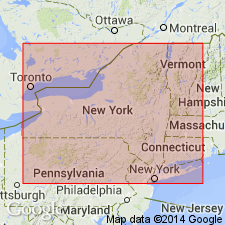
- AAPG geologic province:
-
- Appalachian basin
Summary:
Amsdell beds of Windom Shale Member of Moscow Formation. Light gray slightly concretionary argillaceous limestone and medium gray calcareous shale, 30 to 75 cm thick. Overlie Penn Dixie pyritic beds and underlie unnamed shale interval. Standard section illustrated. Age is Middle Devonian (Givetian).
[Type locality not designated.] Reference section: Bay View quarry and unnamed creek near Big Tree.
Source: Modified from GNU records (USGS DDS-6; Reston GNULEX).
- Usage in publication:
-
- Amsdell bed
- Modifications:
-
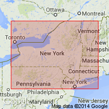
- Areal extent
- AAPG geologic province:
-
- Appalachian basin
Summary:
Amsdell bed is highly distinctive marker in Erie Co. Lithology somewhat resembles the basal part of Fisher Gully bed (informally named) of Windom Member to the east and is believed to have been formerly coextensive with the lower dark shales of the Fisher Gully in the Finger Lakes area. Bed is absent in Genesee and eastern Erie Cos. Because of two unconformities. Also absent in western Livingston Co. and areas west of the Genesee Valley. Overlies strata equivalent to the Bear Swamp beds (informally named) of the Finger Lakes area.
Source: GNU records (USGS DDS-6; Reston GNULEX).
For more information, please contact Nancy Stamm, Geologic Names Committee Secretary.
Asterisk (*) indicates published by U.S. Geological Survey authors.
"No current usage" (†) implies that a name has been abandoned or has fallen into disuse. Former usage and, if known, replacement name given in parentheses ( ).
Slash (/) indicates name conflicts with nomenclatural guidelines (CSN, 1933; ACSN, 1961, 1970; NACSN, 1983, 2005, 2021). May be explained within brackets ([ ]).