

- Usage in publication:
-
- Alsobrook formation
- Modifications:
-
- Named
- Dominant lithology:
-
- Shale
- Sandstone
- Limestone
- AAPG geologic province:
-
- Warrior basin
Morse, W.C., 1928, Paleozoic rocks of Mississippi: Journal of Geology, v. 36, no. 1, p. 31-43.
Summary:
Alsobrook formation is named as the lowest unit in the Chester series. Upper 70 or 80 ft at the type locality in western Colbert Co., AL, is clay shale except for a thin layer of sandstone near the middle. A short distance south on Cripple Deer Creek, upper third of formation has changed to sandstone, the Cripple Deer sandstone member. Basal bed of Alsobrook is 1 to 10 ft of limestone, whose fossils show it to belong with the overlying beds though lithologically it seems closely related to the unconformably underlying Iuka formation. Unit underlies the Allsboro sandstone. Occurs only in northwestern AL and northeastern MS. Age is Mississippian.
Source: GNU records (USGS DDS-6; Reston GNULEX).
- Usage in publication:
-
- Alsobrook member*
- Modifications:
-
- Revised
- Age modified
- AAPG geologic province:
-
- Black Warrior basin
Summary:
Alsobrook formation of Morse (1928) is herein reduced to the Alsobrook member of the Pride Mountain formation (new name) and is redefined to include only the basal limestone and that part of the shale below Morse's Cripple Deer sandstone. Thickness approximately 50 ft in the type area; thins eastward to 3 ft or less in the vicinity of Spring Valley in Colbert Co. Underlies Tanyard Branch member (new name) and overlies Tuscumbia limestone. Age is Late Mississippian.
Source: GNU records (USGS DDS-6; Reston GNULEX).
- Usage in publication:
-
- Alsobrook Member
- Modifications:
-
- Overview
- Areal extent
- AAPG geologic province:
-
- Black Warrior basin
Summary:
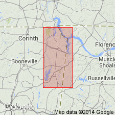
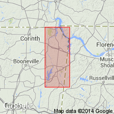
Basal limestone interval in the Alsobrook Member of the Pride Mountain Formation and the contact with the underlying Tuscumbia Formation are not well exposed in Tishomingo Co., MS. The best exposure is in the limestone quarry (Hoover Stone Products) located on the north side of Cripple Deer Creek valley, in SW1/4 sec. 16, T4S, R15W, Colbert Co., AL. These lowermost Pride Mountain strata are truncated by Tuscaloosa gravels just west of well 19. Fragments of Pride Mountain lithologies occur in basal Tuscaloosa beds in and a short distance west of the limestone quarry located on the north side of Cripple Deer Creek valley, about 1 mi west of the state line. Underlies Tanyard Branch Member. Age is Late Mississippian (Chesterian).
Source: GNU records (USGS DDS-6; Reston GNULEX).
For more information, please contact Nancy Stamm, Geologic Names Committee Secretary.
Asterisk (*) indicates published by U.S. Geological Survey authors.
"No current usage" (†) implies that a name has been abandoned or has fallen into disuse. Former usage and, if known, replacement name given in parentheses ( ).
Slash (/) indicates name conflicts with nomenclatural guidelines (CSN, 1933; ACSN, 1961, 1970; NACSN, 1983, 2005, 2021). May be explained within brackets ([ ]).