- Usage in publication:
-
- Alsate shale*
- Modifications:
-
- Original reference
- Dominant lithology:
-
- Shale
- Limestone
- AAPG geologic province:
-
- Permian basin
Summary:
Pg. 1066, 1069-1070. Alsate shale. In northern exposures is mostly shale, but to south there are many limestone ledges. To southeast of Marathon the limestones come beneath the shale beds, but as faunas show no great difference in age the two facies probably intergrade. Near type locality the formation consists of 25 to 50 feet of indurated greenish shale, in part siliceous, containing nodular beds of dense yellow-weathering limestone and lenses of saccharoidal buff quartz sandstone, passing locally into fine conglomerate. At base is a coarse conglomerate of irregular thickness, composed of rounded limestone and chert fragments. In Dagger Flat anticlinorium the formation is 125 feet thick. It underlies the coarse conglomerate at base of Fort Pena formation and overlies Marathon limestone. Fossils are late Beekmantown. Age is Early Ordovician.
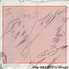
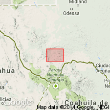
Named from Alsate Creek, which joins Pena Colorada Creek from west at Fort Pena Colorada. Is well exposed in cut on creek 2.5 mi west-southwest of Fort Pena, near road to Roberts Ranch, Brewster Co., southwestern TX.
Source: US geologic names lexicon (USGS Bull. 896, p. 37).

- Usage in publication:
-
- Alsate shale*
- Modifications:
-
- Revised
- Biostratigraphic dating
- AAPG geologic province:
-
- Permian basin
Summary:
Pg. 6, 13 (table 1), 19-20, 106-107, 110, 117. Alsate shale. Black shale that forms distinct break between blue-gray-weathering Marathon limestone and tan-weathering limestones and sandstones of Fort Pena formation. In Alsate Creek exposure in Marathon anticlinorium, conglomerate underlies black shale and was included in Alsate by King. Conglomerate is merely a lens; it can be traced into limestone at top of Marathon and should not be included in Alsate. Thickness about 100 feet in Alsate Creek and in exposures on ridge east of road to Roberts ranch; thins to 85 feet 3 miles to southwest. Thinner in Dagger Flat anticlinorium and commonly occupies covered interval. Here is greenish-weathering black shale. Granular limestone layers containing ONCOGRAPTUS, which King (1937, USGS Prof. Paper 187) described as part of formation, belonging to overlying Fort Pena formation. Age is early Middle Ordovician (Whiterock of Cooper; ISOGRAPTUS CADUCEUS graptolite zone).
Source: Publication; US geologic names lexicon (USGS Bull. 1200, p. 63-64).
For more information, please contact Nancy Stamm, Geologic Names Committee Secretary.
Asterisk (*) indicates published by U.S. Geological Survey authors.
"No current usage" (†) implies that a name has been abandoned or has fallen into disuse. Former usage and, if known, replacement name given in parentheses ( ).
Slash (/) indicates name conflicts with nomenclatural guidelines (CSN, 1933; ACSN, 1961, 1970; NACSN, 1983, 2005, 2021). May be explained within brackets ([ ]).

