

- Usage in publication:
-
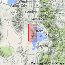
- Alpine formation
- Modifications:
-
- Original reference
- Dominant lithology:
-
- Silt
- AAPG geologic province:
-
- Wasatch uplift
Summary:
Pg. 21. Alpine formation. Oldest of Lake Bonneville deposits. Gilbert (USGS Monograph 1, 1890) used term Intermediate to refer to Lake stage represented by these deposits. Consists of a high proportion of fine-textured sediment, mostly silt. Sorting excellent and bedding distinct. Underlies Bonneville formation (new). Name credited to H.J. Bissell (unpub. thesis). Age is Pleistocene.
Named from town of Alpine, northern Utah Valley.
Source: US geologic names lexicon (USGS Bull. 1200, p. 63).
- Usage in publication:
-
- Alpine formation*
- Modifications:
-
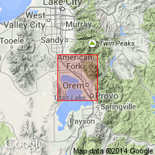
- Areal extent
- AAPG geologic province:
-
- Wasatch uplift
Summary:
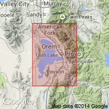
Pg. 17-20, pl. 1. Alpine formation. Formation thickens southward from about 50 feet in vicinity of Lehi to about 100 feet near Provo, Utah. Underlies glacial outwash and in some places Provo formation; overlaps onto pre-Lake Bonneville alluvial fans.
Source: US geologic names lexicon (USGS Bull. 1200, p. 63).
- Usage in publication:
-
- Alpine Member*
- Modifications:
-
- Revised
- Reference
- Dominant lithology:
-
- Gravel
- Sand
- AAPG geologic province:
-
- Wasatch uplift
Summary:
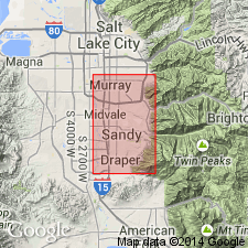
Alpine Member, basal member of Little Cottonwood Formation (new) of Lake Bonneville Group. Reduced in stratigraphic rank. Extensively exposed below Bonneville shoreline in Salt Lake County area, Utah. Represents deposits of two cycles of Lake Bonneville, including those above an altitude of 4,900 feet. Divisible into gravel facies and sand facies. Gravel facies, along Wasatch front, consists of cobbles and boulders derived from Big Cottonwood, Mutual, Mineral Fork, Tintic, Woodside, Thaynes, Ankareh, and Nugget formations, and some coarse gravel. Sand facies consists of interbeds of granule to pebbly sand and pebble gravel that is thin, parallel bedded, locally ripple marked, and having all degrees of sorting. Thickest unit in Lake Bonneville Group; ranges from 50 to 100 feet. Overlies Dimple Dell Soil (new), and fan gravel and colluvium of pre-Lake Bonneville age. Separated from younger Provo and Bonneville Members (both reduced in rank) of Little Cottonwood Formation by a diastem. Also intertongues and intergrades with lower till and outwash of Bull Lake Glaciation. Age is late Pleistocene. Report includes correlation chart, geologic map (mapped with Bonneville and Provo Members), measured sections.
Reference section: in NW/4 NW/4 sec. 14, T. 3 S., R. 1 E., Salt Lake Co., UT.
Source: Modified from GNU records (USGS DDS-6; Denver GNULEX).
- Usage in publication:
-
- Alpine Formation*
- Modifications:
-
- Areal extent
- AAPG geologic province:
-
- Great Basin province
- Snake River basin
Summary:
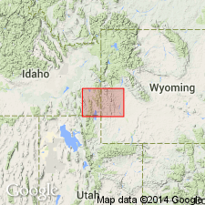
Alpine Formation. Extended into southeast Idaho; west of Bear Lake into Franklin and Bannock Counties. Mapped with the Bonneville Formation. Age is Pleistocene.
Source: Modified from GNU records (USGS DDS-6; Denver GNULEX).
- Usage in publication:
-
- Alpine Formation
- Modifications:
-
- Not used
- AAPG geologic province:
-
- South Western Overthrust
Summary:
Pg. 4, geol. map. Alpine Formation. Not used in area of Utah Valley, Utah County, Utah. Sediments previously mapped as Alpine Formation by Hunt and others, 1953 (USGS Prof. Paper 257-A) are interpreted as having been deposited by pre-Bonneville lakes. Most appear to be offshore lacustrine silt and clay deposits (unit lbpm) of the Bonneville lake cycle. Age is latest Pleistocene.
Source: Publication.
For more information, please contact Nancy Stamm, Geologic Names Committee Secretary.
Asterisk (*) indicates published by U.S. Geological Survey authors.
"No current usage" (†) implies that a name has been abandoned or has fallen into disuse. Former usage and, if known, replacement name given in parentheses ( ).
Slash (/) indicates name conflicts with nomenclatural guidelines (CSN, 1933; ACSN, 1961, 1970; NACSN, 1983, 2005, 2021). May be explained within brackets ([ ]).