The National Geologic Map Database is migrating to a new infrastructure. We apologize for any service disruptions during this process.
|
|---|


- Usage in publication:
-
- Ahorn quartzite*
- Modifications:
-
- Original reference
- Dominant lithology:
-
- Quartzite
- Argillite
- AAPG geologic province:
-
- Northern Rocky Mountain region
Summary:
Pg. 211, 213 (table 1), 217-218. Ahorn quartzite. Composed of two sharply demarcated units, a lower pink quartzite about 1,700 feet thick and an upper green and red argillite 400 feet thick. Because upper part of formation has been greatly eroded, thickness varies considerably within relatively short distances. Unconformably underlies Flathead formation; overlies Hoadley formation (new). Miller Peak argillite, Cayuse formation (new), Hoadley formation, and Ahorn quartzite are equivalent in age to lower and middle part of Missoula group of Clapp and Deiss (1931) in Sapphire and Garnet Ranges. Age is Precambrian (Belt).
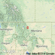
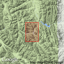
[Type locality not designated.] Present in Saypo quadrangle, [in Teton Co.], and Silvertip quadrangle, [in Lewis and Clark Co.], northwestern MT. Named from Ahorn Creek in southeastern corner of Silvertip quadrangle, [Lewis and Clark Co.], northwestern MT, where headward part of creek is incised in these rocks.
Source: US geologic names lexicon (USGS Bull. 1200, p. 30).
- Usage in publication:
-
- Ahorn Sandstone*
- Modifications:
-
- Areal extent
- AAPG geologic province:
-
- Northern Rocky Mountain region
Summary:
Mapped as a formation of the Belt on southwest part of quad, Lewis and Clark County, Montana, in Northern Rocky Mountain region. Two informal members mapped, listed in ascending order --lower member about 775 ft thick that is thought to be equivalent to the Bonner Formation (McGill and Sommers, written commun) and an upper member about 575 ft thick that is thought to be equivalent to the McNamara Formation (McGill, Sommers, written commun). Overlies Hoadley Formation of Belt; underlies Flathead Sandstone. Of Precambrian age.
Source: GNU records (USGS DDS-6; Denver GNULEX).

- Usage in publication:
-
- Ahorn Quartzite†
- Ahorn Sandstone†
- Modifications:
-
- Abandoned
- AAPG geologic province:
-
- Northern Rocky Mountain region
Summary:
Pg. A8, A9 (fig. 3). †Ahorn Quartzite of Deiss (†Ahorn Sandstone of Mudge) abandoned. Lower part replaced with Bonner Quartzite and upper part replaced with McNamara Formation. [Adopted by the USGS (see Changes in stratigraphic nomenclature, 1972, USGS Bull. 1394-A, p. A2-A3).]
[See Bonner and McNamara.]
Source: Publication; Changes in stratigraphic nomenclature, 1972 (USGS Bull. 1394-A, p. A2-A3).
For more information, please contact Nancy Stamm, Geologic Names Committee Secretary.
Asterisk (*) indicates published by U.S. Geological Survey authors.
"No current usage" (†) implies that a name has been abandoned or has fallen into disuse. Former usage and, if known, replacement name given in parentheses ( ).
Slash (/) indicates name conflicts with nomenclatural guidelines (CSN, 1933; ACSN, 1961, 1970; NACSN, 1983, 2005, 2021). May be explained within brackets ([ ]).