- Usage in publication:
-
- Agua Zarca sandstone member*
- Modifications:
-
- Original reference
- Dominant lithology:
-
- Sandstone
- Shale
- AAPG geologic province:
-
- San Juan basin
Summary:
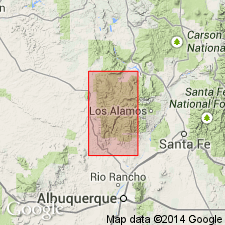
Agua Zarca sandstone member, basal member of the Chinle formation. Crops out in central and southern parts of map area. Consists of conglomeratic sandstone with occasional beds of siltstone and silty shale. From latitude of San Miguel Canyon, unit thins rapidly; in Mesa Poleo it is thin but recognizable. About 100 feet thick on cross sections. Overlies Glorieta sandstone member of San Andres formation. Underlies Salitral shale tongue (new) of Chinle. Age is Late Triassic. Report includes cross sections, geologic map.
Type locality not stated. Origin of name not stated. Mapped in Sandoval and Rio Arriba Cos., NM.
Source: US geologic names lexicon (USGS Bull. 1200, p. 28); supplemental information from GNU records (USGS DDS-6; Denver GNULEX).
- Usage in publication:
-
- Agua Zarca member
- Modifications:
-
- Areal extent
- AAPG geologic province:
-
- San Juan basin
Summary:
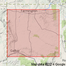
Pg. 91, 92. Agua Zarca member; interpreted as basal sand member of Moenkopi [formation]. Thickness ranges from less than 70 feet to 150 feet across San Juan basin; Salitral member thickens westward in main body of Moenkopi at expense of underlying Agua Zarca. [Age is Triassic.]
Source: US geologic names lexicon (USGS Bull. 1200, p. 28).
- Usage in publication:
-
- Agua Zarca member
- Modifications:
-
- Areal extent
- AAPG geologic province:
-
- San Juan basin
Summary:
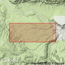
Pg. 17. Age is Late Triassic. Type locality indicated.
Type locality: Agua Zarca Creek [Agua Sarca], Arroyo Del Agua 7.5-min quadrangle, Rio Arriba Co., northwestern NM.
Source: US geologic names lexicon (USGS Bull. 1200, p. 28); GNC index card files (USGS-Menlo).
- Usage in publication:
-
- Agua Zarca Sandstone Member*
- Modifications:
-
- Areal extent
- AAPG geologic province:
-
- San Juan basin
Summary:
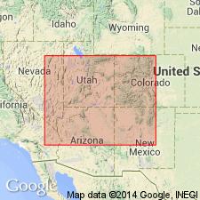
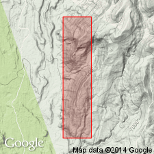
Pg. 12 (fig. 1), 21-24. Agua Zarca Sandstone Member of Chinle Formation. Areally restricted to areas north of San Ysidro, in Nacimiento and San Pedro Mountains, Sandoval and Rio Arriba Counties, north-central New Mexico. Consists of varicolored, coarse- to very coarse-grained, cross-stratified sandstone, conglomerate lenses with pebbles and cobbles commonly as much as 3 inches in diameter, and siltstone. Thickness 67 to 114 feet. Unconformably overlies Cutler Formation (called Abo Formation south of Lat. 36 deg. N.). Conformably underlies and intertongues with Salitral Shale Tongue of Chinle; where Salitral is absent (near Abiquiu), underlies Poleo Sandstone Lentil of Chinle. In White Mesa-Arroyo de Los Pinos area, Nacimiento Mountains, Sandoval County, underlies "unnamed sandstone member" of Chinle; these rocks were previously included in Agua Zarca by Wood and Northrop (1946). Similar in lithology and stratigraphic position to Shinarump Member of Chinle. Age is considered Late Triassic.
Source: Publication.
- Usage in publication:
-
- Agua Zarca Sandstone Member
- Modifications:
-
- Biostratigraphic dating
- AAPG geologic province:
-
- San Juan basin
Summary:
Agua Zarca Sandstone Member of Chinle Formation. [Author discusses Upper Triassic fossil plants, Canon del Cobre flora, described by Newberry (1876) and Fontaine and Knowlton (1890), from a yellow, coarse-grained, conglomeratic sandstone here assigned to the Agua Zarca. Collections thought to be from east wall of Canon del Cobre, 5 to 6 mi north of Abiquiu, in the abandoned copper mines Las Minas de Pedro (Lat. 36 deg. 17 min. 53 sec. N., Long. 106 deg. 20 min. 12 sec. W.; Newberry collection USGS Paleobot. no. 10144) and Las Minas Jimmie (Lat. 36 deg. 16 min. 35 sec. N., Long. 106 deg. 20 min. 22 sec. W.; Fontaine and Knowlton collection USGS Paleobot. no. 10145), Plaza Colorada Grant, Canjilon SE 7.5-min quadrangle, Rio Arriba County, central northern New Mexico. Here, the Agua Zarca underlies Poleo Sandstone Lentil of the Chinle and unconformably overlies Lower Permian Cutler Formation.]
Source: Publication.
For more information, please contact Nancy Stamm, Geologic Names Committee Secretary.
Asterisk (*) indicates published by U.S. Geological Survey authors.
"No current usage" (†) implies that a name has been abandoned or has fallen into disuse. Former usage and, if known, replacement name given in parentheses ( ).
Slash (/) indicates name conflicts with nomenclatural guidelines (CSN, 1933; ACSN, 1961, 1970; NACSN, 1983, 2005, 2021). May be explained within brackets ([ ]).

