The National Geologic Map Database is migrating to a new infrastructure. We apologize for any service disruptions during this process.
|
|---|


- Usage in publication:
-
- Agua Fria slates, limestones, cherts, and tuffs
- Modifications:
-
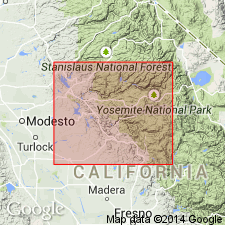
- Areal extent
- AAPG geologic province:
-
- Sierra Nevada province
Summary:
Pg. 149. Agua Fria slates, limestones, cherts, and tuffs. Thickness 2,000+ feet. Top formation of Tuolumne [later †Amador] group (probably lower Mesozoic) on Merced River and southward into Indian Gulch [15-min] quadrangle, Mariposa County, California.
[Presumably named from Agua Fria Creek in southeast corner of Coulterville 15-min quadrangle, Mariposa Co., CA.]
Source: US geologic names lexicon (USGS Bull. 896, p. 18); supplemental information from GNU records (USGS DDS-6; Menlo GNULEX).
- Usage in publication:
-
- Agua Fria formation
- Modifications:
-
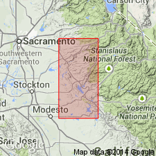
- Areal extent
- AAPG geologic province:
-
- Sierra Nevada province
Summary:
Pg. 283, 284. Agua Fria formation of Amador group. In Merced River section (=type section for southern end of Amador Group), the Agua Fria is uppermost formation. Thickness 3,500 feet. Overlies Penon Blanco volcanics of Amador group. Because of great lateral variation, correlation with Consumnes River section (=type section for northern end of Amador group) not yet possible. Age of Amador group is believed to be late Middle to early Late Jurassic.
[Presumably named from Agua Fria Creek in southeast corner of Coulterville 15-min quadrangle, Mariposa Co., CA.]
Source: Publication; US geologic names lexicon (USGS Bull. 1200, p. 27); supplemental information from GNU records (USGS DDS-6; Menlo GNULEX).
- Usage in publication:
-
- Agua Fria formation
- Modifications:
-
- Not used
- AAPG geologic province:
-
- Sierra Nevada province
Summary:
Agua Fria formation of Amador group of Taliaferro (1943, California Div. Mines Bull., no. 125) not used in this report. Taliaferro (1943) provided only very brief descriptions of units and did not indicate where contacts are to be placed. He included the Agua Fria in his southern type section (Merced River section) of Amador group, although he was unable at that time to establish complete correlation with his northern type section, Cosumnes River section (he did not recognize existence of Bear Mountains fault zone at this latitude and included rocks of both western and central blocks within the Amador group). Here, Amador group restricted from Merced River area.
[Author does not capitalize rank terms; however, units are considered formal.]
Source: Modified from GNU records (USGS DDS-6; Menlo GNULEX).
For more information, please contact Nancy Stamm, Geologic Names Committee Secretary.
Asterisk (*) indicates published by U.S. Geological Survey authors.
"No current usage" (†) implies that a name has been abandoned or has fallen into disuse. Former usage and, if known, replacement name given in parentheses ( ).
Slash (/) indicates name conflicts with nomenclatural guidelines (CSN, 1933; ACSN, 1961, 1970; NACSN, 1983, 2005, 2021). May be explained within brackets ([ ]).