

- Usage in publication:
-
- Agricola Schist
- Modifications:
-
- Original reference
- Dominant lithology:
-
- Schist
- Gneiss
- Amphibolite
- AAPG geologic province:
-
- Appalachian basin
Summary:
Agricola Schist of Dadeville Complex (also called Agricola Schist-Gneiss). A complexly interlayered sequence of schist, gneiss, and amphibolite. Overlies Smith Mountain Ultramafics (new name). Age is early Paleozoic.
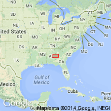
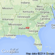
Type locality: near Agricola, south of Dadeville, Tallapoosa Co., east-central AL.
Source: US geologic names lexicon (USGS Bull. 1520, p. 6); GNU records (USGS DDS-6; Reston GNULEX).
- Usage in publication:
-
- Agricola Schist*
- Modifications:
-
- Overview
- AAPG geologic province:
-
- Piedmont-Blue Ridge province
Summary:
Inner Piedmont is divided into two groups of rocks, Dadeville and Opelika Complexes (Bentley and Neathery, 1970), divided by Stonewall line. Dadeville Complex consists of Agricola Schist, Waresville Schist, Camp Hill Gneiss, Chattasofka Creek Gneiss, Ropes Creek Amphibolite, Waverly Gneiss, Simmons Crossroads metagranite (informal), and various unnamed mafic and ultramafic intrusive rocks. Opelika Complex consists of Loachapoka Schist, Saugahatchee quartzite, and Auburn Gneiss and schist. Farmville Metagranite intrudes these units. Age of all Inner Piedmont rocks is early Paleozoic. Report includes geologic sketch map.
Source: GNU records (USGS DDS-6; Reston GNULEX).
For more information, please contact Nancy Stamm, Geologic Names Committee Secretary.
Asterisk (*) indicates published by U.S. Geological Survey authors.
"No current usage" (†) implies that a name has been abandoned or has fallen into disuse. Former usage and, if known, replacement name given in parentheses ( ).
Slash (/) indicates name conflicts with nomenclatural guidelines (CSN, 1933; ACSN, 1961, 1970; NACSN, 1983, 2005, 2021). May be explained within brackets ([ ]).