The Geologic Data Subcommittee (GDS) of the Federal Geographic Data Committee (FGDC) is responsible for coordination of geologic data-related activities
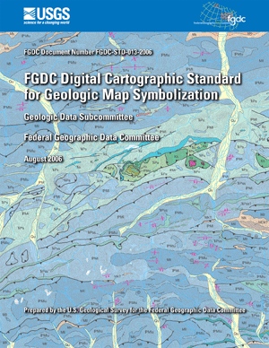 |
For the first time, there is a single national standard for symbolizing the lines, points, and areas that are shown on geologic maps. The objective of this standard is to support efficient production of geologic maps and related products, as well as to improve their consistency in both appearance and underlying database content. |