

- Usage in publication:
-
- Zooks Corner Formation*
- Modifications:
-
- Named
- Dominant lithology:
-
- Dolomite
- Sandstone
- Limestone
- AAPG geologic province:
-
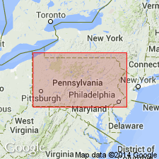
- Appalachian basin
Summary:
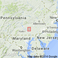
Named the Zooks Corner Formation for town of Zooks Corner, Lancaster Co., southeastern PA. Consists of gray, cross-bedded and ripple marked dolomite with interbedded sandstone and limestone. Thickness is about 1,600 feet. Overlies and interfingers with Ledger Dolomite and underlies Buffalo Springs Formation of the Conococheague Group. Unit crops out in the Lancaster and Mount Joy belts, but is absent from the Lititz belt. Zooks Corner was previously call Elbrook by Jonas and Stose (1930) but author believes this unit has no resemblance to the Elbrook based on the abundant dolomite. The Zooks Corner is of Middle Cambrian age.
Source: GNU records (USGS DDS-6; Reston GNULEX).
- Usage in publication:
-
- Zooks Corner Formation
- Modifications:
-
- Overview
- AAPG geologic province:
-
- Appalachian basin
Summary:
The Zooks Corner Formation in the Lebanon Valley sequence of the Great Valley consists of medium-gray, finely crystalline, silty to sandy dolomite containing numerous siliceous and argillaceous laminae. Overlies Ledger Formation and underlies Buffalo Springs Formation.
Source: GNU records (USGS DDS-6; Reston GNULEX).
For more information, please contact Nancy Stamm, Geologic Names Committee Secretary.
Asterisk (*) indicates published by U.S. Geological Survey authors.
"No current usage" (†) implies that a name has been abandoned or has fallen into disuse. Former usage and, if known, replacement name given in parentheses ( ).
Slash (/) indicates name conflicts with nomenclatural guidelines (CSN, 1933; ACSN, 1961, 1970; NACSN, 1983, 2005, 2021). May be explained within brackets ([ ]).