

- Usage in publication:
-
- Yantic Member*
- Modifications:
-
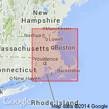
- Areal extent
- AAPG geologic province:
-
- New England province
Summary:
Tatnic Hill Formation and its Fly Pond and Yantic Members extended from CT into Webster area of MA based on work by Barosh (1977) and H.R. Dixon (1978, unpub. data).
Source: GNU records (USGS DDS-6; Reston GNULEX).

- Usage in publication:
-
- Yantic Member*
- Modifications:
-
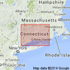
- Overview
- AAPG geologic province:
-
- New England province
Summary:
Used as Yantic Member of Tatnic Hill Formation of Proterozoic Z or Ordovician age. Composed of gray mica schist.
Source: GNU records (USGS DDS-6; Reston GNULEX).
- Usage in publication:
-
- Yantic Member*
- Modifications:
-
- Overview
- AAPG geologic province:
-
- New England province
Summary:
Used as Yantic Member of Tatnic Hill Formation of Middle and Late(?) Ordovician age.
Source: GNU records (USGS DDS-6; Reston GNULEX).
For more information, please contact Nancy Stamm, Geologic Names Committee Secretary.
Asterisk (*) indicates published by U.S. Geological Survey authors.
"No current usage" (†) implies that a name has been abandoned or has fallen into disuse. Former usage and, if known, replacement name given in parentheses ( ).
Slash (/) indicates name conflicts with nomenclatural guidelines (CSN, 1933; ACSN, 1961, 1970; NACSN, 1983, 2005, 2021). May be explained within brackets ([ ]).