

- Usage in publication:
-
- Willamette terrace deposits
- Modifications:
-
- First used
- AAPG geologic province:
-
- Cascades province
Summary:
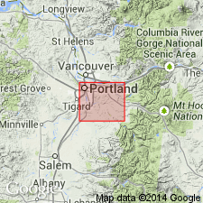
Referred to as Willamette terrace deposits occurring along Willamette River at elevations from 100 to 250 ft. Thickness probably as much as 150 ft.
Source: GNU records (USGS DDS-6; Menlo GNULEX).
- Usage in publication:
-
- Willamette silts
- Modifications:
-
- Named
- Dominant lithology:
-
- Silt
- Clay
- AAPG geologic province:
-
- Cascades province
Summary:
Name Willamette silts proposed for parallel to bedded sheets of silt and associated materials that cover greater part of Willamette Valley lowland. Type section designated as exposures on right bank of Willamette River at Irish Bend in southwestern Linn Co, OR. At type silts are 9 to 13 ft thick and overlie Linn gravels. Shown on geologic map of Albany 15' quad. Age is considered late Pleistocene corresponding to last glacial stage. Fossil bones and teeth of elephants have been reported from silt within Albany quad.
Source: GNU records (USGS DDS-6; Menlo GNULEX).
- Usage in publication:
-
- Willamette silt*
- Modifications:
-
- Adopted
- Areal extent
- AAPG geologic province:
-
- Western Columbia basin
Summary:
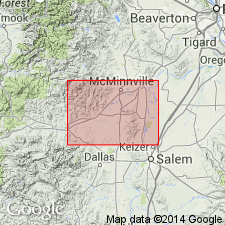
Mapped in McMinnville quadrangle, western Oregon, where Willamette silt is approximately 75 feet thick and uniform in texture. Bedding is not distinct but is shown by faint color changes. Top of silt deposits reaches altitude of 160 feet throughout Willamette Valley and thinner coverings along hill slopes reach altitude of 200 feet or more; above 200 feet silt is difficult to distinguish from weathered Tertiary formations and soil. Age is Pleistocene. (Willamette silt adopted by the USGS.)
Source: GNU records (USGS DDS-6; Menlo GNULEX); US geologic names lexicon (USGS Bull. 1200, p. 4241).
- Usage in publication:
-
- Willamette Silt, Formation
- Modifications:
-
- Revised
- AAPG geologic province:
-
- Cascades province
Summary:
Willamette Formation [Silt] divided into (ascending): Wyatt, Irish Bend, Malpass, and Greenback Members. Age is late Pleistocene.
Source: GNU records (USGS DDS-6; Menlo GNULEX).
- Usage in publication:
-
- Willamette Silts
- Modifications:
-
- Areal extent
- Revised
- Age modified
- AAPG geologic province:
-
- Cascades province
Summary:
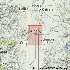
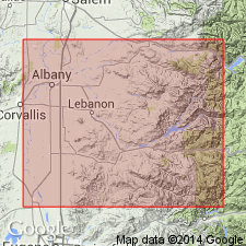
Mapped in Albany, Brownsville, Eugene, Halsey, and Lebanon 15' quads, Linn Co, OR. "Although Balster and Parsons (1969) do not consider the upper silts and clays to be part of the Willamette Silts, they are here considered to be part of that unit." p.25. Unit varies in age from 100,000 yr B.P. to 18,000 yr B.P. Absence of shoreline deltas, beaches, and locally derived sediments implies rapid deposition over short period.
Source: GNU records (USGS DDS-6; Menlo GNULEX).
For more information, please contact Nancy Stamm, Geologic Names Committee Secretary.
Asterisk (*) indicates published by U.S. Geological Survey authors.
"No current usage" (†) implies that a name has been abandoned or has fallen into disuse. Former usage and, if known, replacement name given in parentheses ( ).
Slash (/) indicates name conflicts with nomenclatural guidelines (CSN, 1933; ACSN, 1961, 1970; NACSN, 1983, 2005, 2021). May be explained within brackets ([ ]).