

- Usage in publication:
-
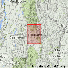
- Wilcox formation
- Modifications:
-
- Named
- Dominant lithology:
-
- Schist
- Dolomite
- Gneiss
- AAPG geologic province:
-
- New England province
Summary:
Named the Wilcox Formation for Wilcox Hill, Rutland quad, west-central VT. Consists of predominantly green, white, and black schist enclosing thin dolomite beds near base of schist; schist is feldspathic and dolomitic, shows fine banding, and contains thin buff and blue quartzite beds. Pegmatitic quartzose gneiss occurs near middle of the formation. Thickness is about 3000 ft. Unconformably underlies the Mendon formation. The Wilcox is of Precambrian age.
Source: GNU records (USGS DDS-6; Reston GNULEX).
- Usage in publication:
-
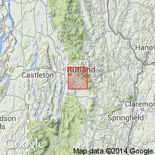
- Wilcox Formation*
- Modifications:
-
- Revised
- AAPG geologic province:
-
- New England province
Summary:
The Wilcox Formation, as used by Brace (1953), is assigned to the Mount Holly Complex in the Green Mountain massif. Previous workers speculated that the contact between the Mount Holly and Wilcox was a fault, and therefore, two entirely different units. Author states that the contact between the two units is conformable or interfingering; this observation along with the similarity in lithology between the Wilcox and other parts of the Mount Holly Complex warrants including the Wilcox in the Mount Holly Complex. The age of the Wilcox is considered Middle Proterozoic since it is a part of the Mount Holly.
Source: GNU records (USGS DDS-6; Reston GNULEX).
For more information, please contact Nancy Stamm, Geologic Names Committee Secretary.
Asterisk (*) indicates published by U.S. Geological Survey authors.
"No current usage" (†) implies that a name has been abandoned or has fallen into disuse. Former usage and, if known, replacement name given in parentheses ( ).
Slash (/) indicates name conflicts with nomenclatural guidelines (CSN, 1933; ACSN, 1961, 1970; NACSN, 1983, 2005, 2021). May be explained within brackets ([ ]).