

- Usage in publication:
-
- Whitney Granodiorite*
- Modifications:
-
- Named
- Geochronologic dating
- Dominant lithology:
-
- Granodiorite
- AAPG geologic province:
-
- Sierra Nevada province
Summary:
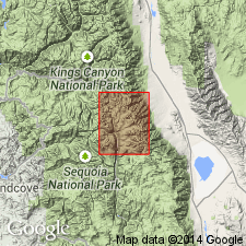
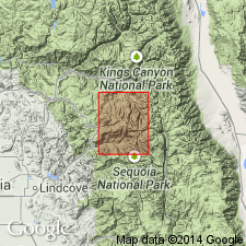
Named for exposures on Mount Whitney, Mount Whitney 15' quad., Inyo and Tulare Cos., CA. Type locality is 200 m north of summit of Mount Whitney. Is part of one of largest and youngest Sierra Nevada granitic sequences, extending about 83 km southeastward from central Marion Peak quad. to southeastern Olancha quad., and attaining width of 23 km south of Mount Whitney quad. Is composed of porphyritic granodiorite and granite (averaged modal analysis) with large (4-8cm) phenocrysts of potassium feldspars. Intrudes Paradise Granodiorite (new); intruded by granite porphyry dikes and sills. K-Ar age of 83 Ma. Assigned to Late Cretaceous.
Source: GNU records (USGS DDS-6; Menlo GNULEX).
- Usage in publication:
-
- Whitney Granodiorite*
- Modifications:
-
- Revised
- AAPG geologic province:
-
- Sierra Nevada province
Summary:
Youngest unit (of three) in Mount Whitney Intrusive Suite.
Source: GNU records (USGS DDS-6; Menlo GNULEX).
For more information, please contact Nancy Stamm, Geologic Names Committee Secretary.
Asterisk (*) indicates published by U.S. Geological Survey authors.
"No current usage" (†) implies that a name has been abandoned or has fallen into disuse. Former usage and, if known, replacement name given in parentheses ( ).
Slash (/) indicates name conflicts with nomenclatural guidelines (CSN, 1933; ACSN, 1961, 1970; NACSN, 1983, 2005, 2021). May be explained within brackets ([ ]).