- Usage in publication:
-
- White River Member
- Modifications:
-
- First used
- Dominant lithology:
-
- Schist
- Quartzite
- Marble
- AAPG geologic province:
-
- New England province
Summary:
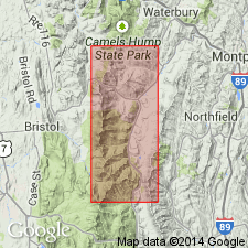
The Battell is raised to Formation rank by T.R. Armstrong (in progress) [not in bibliography] to describe graphitic schists with carbonates that depositionally overlie the Monastery Formation in the Granville-Hancock area of central VT. The name Battell Formation is tentatively assigned in this report to a distinct group of graphitic rocks with limited occurrence in the study area. The basal portion of the Battell is assigned by Armstrong to the White River Member (new name) and following that nomenclature, the White River is the only part of the Battell seen in the Fayston-Buels Gore area. The White River appears to be in fault contact with the Underhill Formation along the eastern boundary of the Underhill in Buels Gore. The member also appears to be in depositional contact with the Monastery Formation at all observed locations and occurs as small bodies within the schists of the Monastery. Age is Cambrian.
Source: GNU records (USGS DDS-6; Reston GNULEX).
For more information, please contact Nancy Stamm, Geologic Names Committee Secretary.
Asterisk (*) indicates published by U.S. Geological Survey authors.
"No current usage" (†) implies that a name has been abandoned or has fallen into disuse. Former usage and, if known, replacement name given in parentheses ( ).
Slash (/) indicates name conflicts with nomenclatural guidelines (CSN, 1933; ACSN, 1961, 1970; NACSN, 1983, 2005, 2021). May be explained within brackets ([ ]).

