

- Usage in publication:
-
- Whisky quartzite*
- Modifications:
-
- Named
- Dominant lithology:
-
- Quartzite
- AAPG geologic province:
-
- New England province
Summary:
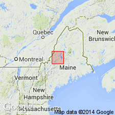
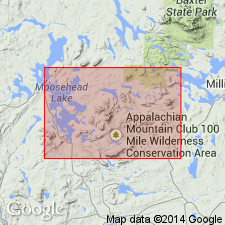
Named for Whisky Island in an embayment of Deer Island in Moosehead Lake 15-min quad, western Piscataquis Co., ME. Type section is on east side of Deer Island near Lambert Island on south limb of anticline. Occurs on Deer and Sugar Islands in Moosehead Lake. Consists of light-brown, white-weathering quartzite composed of well-rounded blue quartz grains as well as some feldspar, felsite, slate, and fine-grained matrix; sparse pelmatozoan columnals are present. Thickness is about 200 ft. Disconformably overlies Capens formation (new). Report includes geologic map and correlation chart. Age is Silurian or Early Devonian based on stratigraphic position.
Source: GNU records (USGS DDS-6; Reston GNULEX).
- Usage in publication:
-
- Whisky Quartzite*
- Modifications:
-
- Age modified
- AAPG geologic province:
-
- New England province
Summary:
Age changed from Silurian to Early Devonian to just Devonian. Although no fossils were found in the Whisky Quartzite, the rock is lithologically similar to the Lower Devonian Seboomook Formation and may also be equivalent to the Tomhegan and Tarratine Formations (all of west-central ME).
Source: GNU records (USGS DDS-6; Reston GNULEX).
For more information, please contact Nancy Stamm, Geologic Names Committee Secretary.
Asterisk (*) indicates published by U.S. Geological Survey authors.
"No current usage" (†) implies that a name has been abandoned or has fallen into disuse. Former usage and, if known, replacement name given in parentheses ( ).
Slash (/) indicates name conflicts with nomenclatural guidelines (CSN, 1933; ACSN, 1961, 1970; NACSN, 1983, 2005, 2021). May be explained within brackets ([ ]).