

- Usage in publication:
-
- Tybo shale*
- Modifications:
-
- Named
- Dominant lithology:
-
- Shale
- Limestone
- AAPG geologic province:
-
- Great Basin province
Summary:
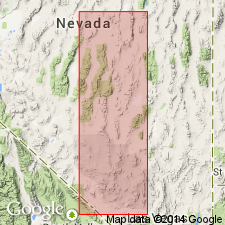
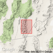
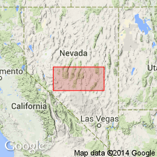
Tybo shale named for exposures in Tybo Canyon near the camp of Tybo [T6N R49E, Nye Co, NV]. Consists dominantly of fissile olive-gray to dark shale. Thin beds of limestone and calcareous shale with concretions of dense gray limestone appear near the top of the formation. No precise estimate of thickness is possible due to crumpled nature of shales. Probable thickness is about 1600 ft. Conformably overlies Swarbrick formation (new); conformably underlies and grades into Hales limestone (new). Age is Cambrian on the basis of stratigraphic position.
Source: GNU records (USGS DDS-6; Menlo GNULEX).
- Usage in publication:
-
- Tybo shale*
- Modifications:
-
- Areal extent
- AAPG geologic province:
-
- Great Basin province
Summary:
Tybo shale is geographically extended into the Antelope Range. Age is Cambrian on the basis of stratigraphic position.
Source: GNU records (USGS DDS-6; Menlo GNULEX).
- Usage in publication:
-
- Tybo Shale
- Modifications:
-
- Not used
- AAPG geologic province:
-
- Great Basin province
Summary:
Tybo shale is not used for shale unit lying between the Swarbrick Formation and the Hales Limestone in the Tybo 15' quad, Nye Co, NV. This unit is referred to at the Dunderberg Shale.
Source: GNU records (USGS DDS-6; Menlo GNULEX).
- Usage in publication:
-
- Tybo Shale*†
- Modifications:
-
- Abandoned
- AAPG geologic province:
-
- Great Basin province
Summary:
"Tybo Shale" (Ferguson, 1933) which was recently assigned to the Dunderberg Shale (Quinlivan and Rogers, 1974) is abandoned.
Source: GNU records (USGS DDS-6; Menlo GNULEX).
- Usage in publication:
-
- Tybo Shale*
- Modifications:
-
- Reinstated
- AAPG geologic province:
-
- Great Basin province
Summary:
Tybo Shale (Ferguson, 1933) is reinstated on the basis of lithologic identity and stratigraphic relations ("... represents a substantially deeper water facies than the Dunderberg Shale and ... is bounded by different formations that the Dunderberg"). Age is Late Cambrian.
Source: GNU records (USGS DDS-6; Menlo GNULEX).
For more information, please contact Nancy Stamm, Geologic Names Committee Secretary.
Asterisk (*) indicates published by U.S. Geological Survey authors.
"No current usage" (†) implies that a name has been abandoned or has fallen into disuse. Former usage and, if known, replacement name given in parentheses ( ).
Slash (/) indicates name conflicts with nomenclatural guidelines (CSN, 1933; ACSN, 1961, 1970; NACSN, 1983, 2005, 2021). May be explained within brackets ([ ]).