

- Usage in publication:
-
- Toyabe quartz latite*
- Modifications:
-
- Named
- Dominant lithology:
-
- Tuff
- AAPG geologic province:
-
- Great Basin province
Summary:
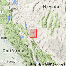
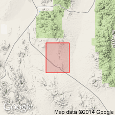
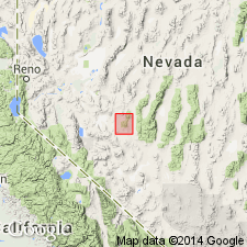
Type locality designated as crest and west flank of Toyabe [Toiyabe] Range, Round Mountain 30' quad, NV. Consists of thick sequence of porphyritic flows of very uniform composition. Flow breccias are in places. Locally thin tuff layers occur between flows. Total thickness may exceed 1500 ft with individual flows averaging between 50 and 100 ft. Unconformably overlies Gilbert andesite or Esmeralda formation. Unconformably underlies Pleistocene(?) basalt. Age shown as Pliocene(?) on geologic map of Round Mountain 30' quad.
Source: GNU records (USGS DDS-6; Menlo GNULEX).
- Usage in publication:
-
- Toyabe Quartz Latite*
- Modifications:
-
- Age modified
- AAPG geologic province:
-
- Great Basin province
Summary:
Age of unit is approximately 22 Ma (Kleinhampfl and Ziony, 1967). Described as welded tuff in Toiyabe Range about 45 mi north of Tonopah, NV.
Source: GNU records (USGS DDS-6; Menlo GNULEX).
- Usage in publication:
-
- Toiyabe Quartz Latite*
- Modifications:
-
- Age modified
- AAPG geologic province:
-
- Great Basin province
Summary:
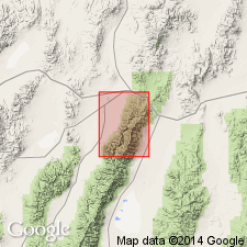
Small outcrops shown near Murphy Canyon on geologic map of Austin 15' quad, Lander Co., NV. Described as crystal-rich rhyolite ash-flow welded tuff that contains 40% phenocrysts of smoky quartz, sanidine, plagioclase, and biotite. Age is Miocene based on correlation with tuff from Paradise Range to west which has K-Ar age of 22 Ma (McKee and others, 1971).
Source: GNU records (USGS DDS-6; Menlo GNULEX).
- Usage in publication:
-
- Toiyabe Quartz Latite*
- Modifications:
-
- Overview
- Geochronologic dating
- AAPG geologic province:
-
- Great Basin province
Summary:
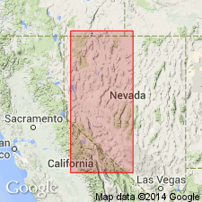
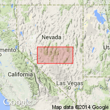
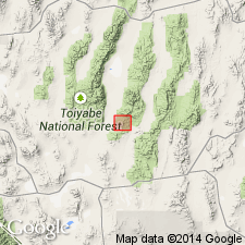
Shown on geologic map of northern Nye Co., NV, mainly in Toiyabe Range and Shoshone Mountains. Described as chiefly rhyolitic to rhyodacite welded ash-flow tuff few 1000 ft thick in several cooling units. Discussion of spelling of name, detailed lithology, origin included in study. Isotopic ages range from 24 to 21 Ma (Armstrong, 1970; Kleinhampl and Ziony, 1967; McKee and others, 1971; Silberman and McKee, 1972).
Source: GNU records (USGS DDS-6; Menlo GNULEX).
- Usage in publication:
-
- Toiyabe Quartz Latite*
- Modifications:
-
- Areal extent
- AAPG geologic province:
-
- Great Basin province
Summary:
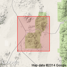
Toiyabe Quartz Latite geographically extended into report area [Pactolus Hills] Goldyke quad, Nye Co., NV. Age shown as Miocene.
Source: GNU records (USGS DDS-6; Menlo GNULEX).
- Usage in publication:
-
- Toiyabe Quartz Latite*
- Modifications:
-
- Areal extent
- AAPG geologic province:
-
- Great Basin province
Summary:
Toiyabe Quartz Latite is geographically restricted from Manhattan mining district in southern Toquima Range. Rocks previously mapped as such are now designated the dacite of Ferguson Hill (informal). The dacite of Ferguson Hill differs from the Toiyabe Quartz Latite in composition and form of occurrence (as plugs, dikes, and sills rather than as ash flows). Age of dacite of Ferguson Hill is 24.5 Ma or latest Oligocene based on K-Ar age on biotite; age of Toiyabe Quartz Latite is 22-23 Ma or early Miocene.
Source: GNU records (USGS DDS-6; Menlo GNULEX).
- Usage in publication:
-
- Toiyabe Quartz Latite*
- Modifications:
-
- Areal extent
- AAPG geologic province:
-
- Great Basin province
Summary:
Toiyabe Quartz Latite geographically extended into report area [Paradise Range], Paradise Peak quad, Nye Co., NV. Age shown as Miocene.
Source: GNU records (USGS DDS-6; Menlo GNULEX).
- Usage in publication:
-
- Toiyabe Quartz Latite†
- Modifications:
-
- Abandoned
- AAPG geologic province:
-
- Great Basin province
Summary:
Toiyabe Quartz Latite is abandoned owing to stratigraphic restriction in type locality (due to geochemistry and age-data reinterpretation for its strata). Rocks are reassigned to several informally named units.
Source: GNU records (USGS DDS-6; Menlo GNULEX).
For more information, please contact Nancy Stamm, Geologic Names Committee Secretary.
Asterisk (*) indicates published by U.S. Geological Survey authors.
"No current usage" (†) implies that a name has been abandoned or has fallen into disuse. Former usage and, if known, replacement name given in parentheses ( ).
Slash (/) indicates name conflicts with nomenclatural guidelines (CSN, 1933; ACSN, 1961, 1970; NACSN, 1983, 2005, 2021). May be explained within brackets ([ ]).