

- Usage in publication:
-
- Tindir group
- Modifications:
-
- Named
- Dominant lithology:
-
- Dolomite
- Quartzite
- Shale
- Sandstone
- AAPG geologic province:
-
- Alaska East-Central region
Summary:
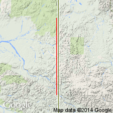
Exposed along Tindir Creek and between Ettrain and Harrington Creeks in section along Yukon-Alaska boundary. Also exposed along Porcupine River in northern end of district. Consists dominantly of quartzites, dolomites, shales, and sandstones with which are associated some intrusive greenstones. Entire group is considerably folded, faulted and distorted. Is at least 5000 ft thick and may be thicker in places. Unconformably (?) overlies Yukon group which may include Nasina series of Brooks (1900), Klondike series of McConnell (1901), Pelly gneisses of McConnell (1901) as well as others. Unconformably underlies limestone-dolomite beds containing Middle Cambrian fossils. Tindir group is considered to be Precambrian or Early Cambrian in age on basis of stratigraphic relations.
Source: GNU records (USGS DDS-6; Menlo GNULEX).
- Usage in publication:
-
- Tindir group*
- Modifications:
-
- Adopted
- AAPG geologic province:
-
- Alaska East-Central region
Summary:
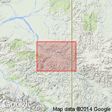
Tindir group of Cairnes (1913) is adopted for its occurrence in AK. Type locality designated as areas along Tindir and between Ettrain and Harrington Creeks along Yukon-Alaska boundary. Age is Precambrian or Early Cambrian on basis of stratigraphic relations.
Source: GNU records (USGS DDS-6; Menlo GNULEX).
- Usage in publication:
-
- Tindir Group*
- Modifications:
-
- Age modified
- Biostratigraphic dating
- AAPG geologic province:
-
- Alaska East-Central region
Summary:
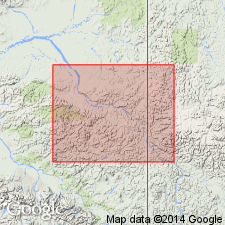
Age is Middle Proterozoic to Early Cambrian based on stromatolites in lower part of group and bacterial, cyanobacterial, algal, fungal, and poriferan microfossils and other protistans in upper part of group. New species and taxa from east-central AK and especially the Tatonduk area are described. Geologic sketch map of southern Tatonduk area shows lithologic subdivisions of group and locations of fossil collections.
Source: GNU records (USGS DDS-6; Menlo GNULEX).
For more information, please contact Nancy Stamm, Geologic Names Committee Secretary.
Asterisk (*) indicates published by U.S. Geological Survey authors.
"No current usage" (†) implies that a name has been abandoned or has fallen into disuse. Former usage and, if known, replacement name given in parentheses ( ).
Slash (/) indicates name conflicts with nomenclatural guidelines (CSN, 1933; ACSN, 1961, 1970; NACSN, 1983, 2005, 2021). May be explained within brackets ([ ]).