- Usage in publication:
-
- The Rocks sandstone
- Modifications:
-
- Named
- Dominant lithology:
-
- Sandstone
- AAPG geologic province:
-
- California Coast Ranges province
Summary:
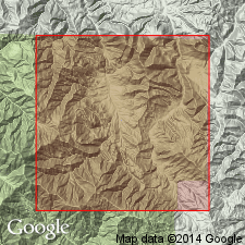
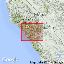
Named by author in abstract (1941, GSA Bull. v.52 no.12 pt.2 p.1958) [where type locality designated as in upper Reliz Canyon, sec.27 T20S R6E, Junipero Serra 15' quad, Monterey Co, CA]. Unit is named for "The Rocks" on topographic sheet. Described as tan, massive, thick-bedded, fine- to medium-grained, usually well-sorted, unfossiliferous, feldspathic sandstone. Forms rugged topography. Is about 1500 feet thick. Conformably overlies Lucia shale (new). Disconformably underlies Berry conglomerate (new). Age is thought to be Eocene based on its stratigraphic position with Lucia shale.
Source: GNU records (USGS DDS-6; Menlo GNULEX).

- Usage in publication:
-
- The Rocks Sandstone Member*
- Modifications:
-
- Adopted
- Revised
- Age modified
- AAPG geologic province:
-
- California Coast Ranges province
Summary:
The Rocks Sandstone of Thorup (1943) reduced in rank and adopted as The Rocks Sandstone Member of Reliz Canyon Formation. Mudstone above The Rocks assigned by Link and Nilsen (1974) to The Rocks are here assigned to Church Creek Formation. This mudstone contains planktonic foraminifers of early middle Eocene age (Gerta Keller, written commun., 1983). Age of The Rocks is early and middle Eocene based on stratigraphic position below mudstone of Church Creek Formation and over Lucia Mudstone Member of Reliz Canyon Formation.
Source: GNU records (USGS DDS-6; Menlo GNULEX).
For more information, please contact Nancy Stamm, Geologic Names Committee Secretary.
Asterisk (*) indicates published by U.S. Geological Survey authors.
"No current usage" (†) implies that a name has been abandoned or has fallen into disuse. Former usage and, if known, replacement name given in parentheses ( ).
Slash (/) indicates name conflicts with nomenclatural guidelines (CSN, 1933; ACSN, 1961, 1970; NACSN, 1983, 2005, 2021). May be explained within brackets ([ ]).

