- Usage in publication:
-
- Thatcher Brook Member
- Modifications:
-
- Overview
- Dominant lithology:
-
- Schist
- Greenstone
- AAPG geologic province:
-
- New England province
Summary:
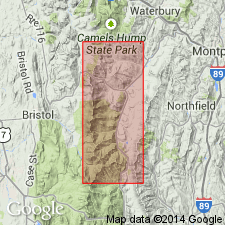
The Ottauquechee Formation in the study area consists of two major rock types: A black phyllite and a carbonaceous albitic schist, named the Thatcher Brook Member by Armstrong and others (1988: abstract). The Thatcher Brook is described here as a rusty-weathered muscovite-quartz-albite-chlorite-graphite schist with dark gray to black, commonly banded quartzite, with minor greenstones and ultramafics. Unit is in fault contact with the silvery green schist of the Pinney Hollow Formation. Age is Cambrian.
Source: GNU records (USGS DDS-6; Reston GNULEX).
For more information, please contact Nancy Stamm, Geologic Names Committee Secretary.
Asterisk (*) indicates published by U.S. Geological Survey authors.
"No current usage" (†) implies that a name has been abandoned or has fallen into disuse. Former usage and, if known, replacement name given in parentheses ( ).
Slash (/) indicates name conflicts with nomenclatural guidelines (CSN, 1933; ACSN, 1961, 1970; NACSN, 1983, 2005, 2021). May be explained within brackets ([ ]).

