

- Usage in publication:
-
- Tetelna volcanics*
- Modifications:
-
- Named
- Dominant lithology:
-
- Volcanics
- Andesite
- Diorite
- Quartzite
- AAPG geologic province:
-
- Alaska Southern region
Summary:
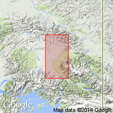
Tetelna volcanics is exposed along valley of Indian Creek [Indian name of which is "Tetelna"], central Copper River region, southern AK. Igneous rocks include intrusive diorites, andesitic lavas, diabase dikes, some altered sedimentary rocks, and porous greenish quartzite. Map legend gives age as late Paleozoic.
Source: GNU records (USGS DDS-6; Menlo GNULEX).
- Usage in publication:
-
- Tetelna Volcanics*
- Modifications:
-
- Age modified
- AAPG geologic province:
-
- Alaska Southern region
Summary:
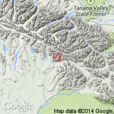
Age of Tetelna Volcanics in Eagle Creek area is considered Pennsylvanian on basis of stratigraphic relation to conformably overlying Slana Spur Formation (new) of Middle Pennsylvanian and Early Permian age. Here Tetelna is unfossiliferous.
Source: GNU records (USGS DDS-6; Menlo GNULEX).
- Usage in publication:
-
- Tetelna Volcanics*
- Modifications:
-
- Age modified
- Biostratigraphic dating
- AAPG geologic province:
-
- Alaska Southern region
Summary:
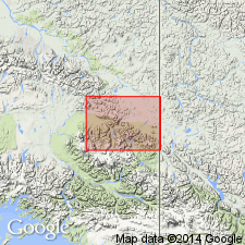
Mapped in Nabesna (1:250,000) quad, southern AK. Described as chiefly interbedded dark-green to purplish-gray-green volcanic flows, volcanic mud and debris avalanches, lapilli-pumice tuffs and fine- to coarse-grained volcaniclastic rocks. Near diorite complex, unit has been recrystallized. Thickness is greater than 1000 m, but base is nowhere exposed. Apparently conformably underlies Mankomen Group. Lower part of Tetelna Volcanics is considered to be Pennsylvanian age on basis of correlation. Upper part contains Permian brachiopods and cephalopods in Nabesna quad.
Source: GNU records (USGS DDS-6; Menlo GNULEX).
For more information, please contact Nancy Stamm, Geologic Names Committee Secretary.
Asterisk (*) indicates published by U.S. Geological Survey authors.
"No current usage" (†) implies that a name has been abandoned or has fallen into disuse. Former usage and, if known, replacement name given in parentheses ( ).
Slash (/) indicates name conflicts with nomenclatural guidelines (CSN, 1933; ACSN, 1961, 1970; NACSN, 1983, 2005, 2021). May be explained within brackets ([ ]).