

- Usage in publication:
-
- Terra Cotta Mountains Sandstone*
- Modifications:
-
- Named
- Biostratigraphic dating
- Dominant lithology:
-
- Sandstone
- Mudstone
- Limestone
- AAPG geologic province:
-
- Alaska West-Central region
Summary:
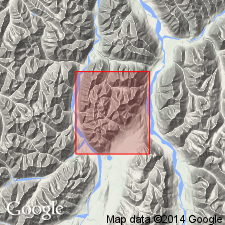
Unit is named the Terra Cotta Mountains Sandstone for the Terra Cotta Mountains located in the southeastern part of the McGrath 1:250,000 quad, AK. Consists mainly of sandstone and mudstone with subordinate limestone. Apparently conformable on the Post River Formation (new); upper contact of unit is thought to be a bedding-plane thrust fault. Thickness is 185 m. Age is late Early and Late Silurian based on fossils (graptolites).
Source: GNU records (USGS DDS-6; Menlo GNULEX).
For more information, please contact Nancy Stamm, Geologic Names Committee Secretary.
Asterisk (*) indicates published by U.S. Geological Survey authors.
"No current usage" (†) implies that a name has been abandoned or has fallen into disuse. Former usage and, if known, replacement name given in parentheses ( ).
Slash (/) indicates name conflicts with nomenclatural guidelines (CSN, 1933; ACSN, 1961, 1970; NACSN, 1983, 2005, 2021). May be explained within brackets ([ ]).