

- Usage in publication:
-
- Tatman formation
- Modifications:
-
- Named
- Dominant lithology:
-
- Shale
- Sandstone
- Lignite
- AAPG geologic province:
-
- Bighorn basin
Summary:
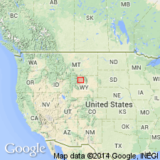
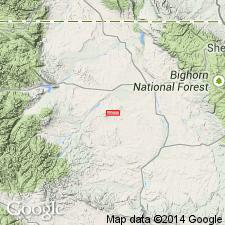
Name applied to some previously unnamed yellowish shale, yellow-brown and gray sandstone and lignite typically developed on Tatman Mountain, south of Gray Bull River east of Meeteetse, Park Co., WY in the Bighorn basin. Location map. Cross section. Occurs also on Squaw Buttes, and on divide between Fifteen-mile and Gooseberry Creeks. Has not been found north of Gray Bull River. Derived from underlying Eocene rocks. Estimated as 600 ft thick. Conformable with underlying Lost Cabin Formation. Underlies post-Tatman gravels. No vertebrate fossils found. Invertebrates suggest Eocene, probably Bridger, age. No type locality designated.
[NOTE: The Department of the Interior's Secretarial Order 3404, issued on November 19, 2021, formally identifies the term “squaw” as derogatory. That Order will create a federal Derogatory Geographic Names Task Force, to find replacement names for geographic features in use by federal agencies. We’re awaiting guidance from the Task Force, and will then take the appropriate actions.]
Source: GNU records (USGS DDS-6; Denver GNULEX).

- Usage in publication:
-
- Tatman formation
- Modifications:
-
- Contact revised
- AAPG geologic province:
-
- Bighorn basin
Summary:
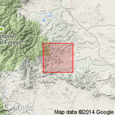
Lower contact revised in that name of underlying unit changed from Wasatch formation, name used in earlier reports, to Willwood formation, unit named in this report. Occurs at Squaw Buttes, Tatman Mountains, Big Horn, Washakie, Hot Springs, and Park Cos, WY in the Bighorn basin. Areal extent map. Is 867 ft thick at Squaw Buttes where it underlies the early basic breccia. Is 650 to 700 ft thick at Tatman Mountain where early basic breccia is missing. Plentiful fossils (fish remains, pelecypods, gastropods, crocodiles, turtles, ostracodes, carbonized leaves, mollusks). Its carbonaceous shale and fine-grained sandstones were deposited in a uniform and widespread environment of a forest swamp and in open waters of a shallow lake. Middle Eocene age.
[NOTE: The Department of the Interior's Secretarial Order 3404, issued on November 19, 2021, formally identifies the term “squaw” as derogatory. That Order will create a federal Derogatory Geographic Names Task Force, to find replacement names for geographic features in use by federal agencies. We’re awaiting guidance from the Task Force, and will then take the appropriate actions.]
Source: GNU records (USGS DDS-6; Denver GNULEX).
- Usage in publication:
-
- Tatman Formation*
- Modifications:
-
- Contact revised
- AAPG geologic province:
-
- Bighorn basin
Summary:
Lower contact revised in that Tatman underlies in Bighorn basin a newly named unit, Fenton Pass Formation. Assigned an Eocene age.
Source: GNU records (USGS DDS-6; Denver GNULEX).
- Usage in publication:
-
- Tatman Formation
- Modifications:
-
- Not used
Summary:
Rocks of lacustrine aspect occur as local interbeds in the Aycross Formation. Because outcrops are discontinuous between report area (Hot Springs Co.) and area where Tatman named (Tatman Mountain), they cannot be definitely correlated with Tatman Formation. The rocks are thin, discontinuous, not mappable at 1:24,000, so they are mapped with Aycross. Rocks are nontuffaceous at base; they become coarser grain and include volcanic material. They occupy a 60 m sequence. Cross sections. Mammal collections identified. Fossil pollen, ostracodes, freshwater mollusks listed. Early Eocene age assigned to these rocks.
Source: GNU records (USGS DDS-6; Denver GNULEX).
For more information, please contact Nancy Stamm, Geologic Names Committee Secretary.
Asterisk (*) indicates published by U.S. Geological Survey authors.
"No current usage" (†) implies that a name has been abandoned or has fallen into disuse. Former usage and, if known, replacement name given in parentheses ( ).
Slash (/) indicates name conflicts with nomenclatural guidelines (CSN, 1933; ACSN, 1961, 1970; NACSN, 1983, 2005, 2021). May be explained within brackets ([ ]).