

- Usage in publication:
-
- Tatina group*
- Modifications:
-
- Named
- Biostratigraphic dating
- Dominant lithology:
-
- Limestone
- Argillite
- Slate
- AAPG geologic province:
-
- Alaska Southwestern region
Summary:
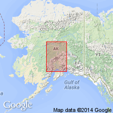
Typical exposures are in upper basin of Tatina River (formerly called Rohn River), Alaska Range, southwestern and southern AK. Traced from Tatina River to east fork of Toklat and appears to constitute most of inland slope of mountains. Rocks in part were called Terra Cotta series by Spurr (1900). Consists of blue limestones interbedded with black carbonaceous argillites and thin-bedded siliceous limestones and calcareous slates. Is 4000 to 5000 ft thick. Separated from younger Tonzona group (new) by fault. Age is Ordovician and possibly in part Silurian(?) based on graptolites from lower part of unit. Fossils identified by Charles Schuchert. Upper part of group yielded no fossils.
Source: GNU records (USGS DDS-6; Menlo GNULEX).
For more information, please contact Nancy Stamm, Geologic Names Committee Secretary.
Asterisk (*) indicates published by U.S. Geological Survey authors.
"No current usage" (†) implies that a name has been abandoned or has fallen into disuse. Former usage and, if known, replacement name given in parentheses ( ).
Slash (/) indicates name conflicts with nomenclatural guidelines (CSN, 1933; ACSN, 1961, 1970; NACSN, 1983, 2005, 2021). May be explained within brackets ([ ]).