

- Usage in publication:
-
- Tapicitos Member*
- Modifications:
-
- Named
- Dominant lithology:
-
- Shale
- Sandstone
- AAPG geologic province:
-
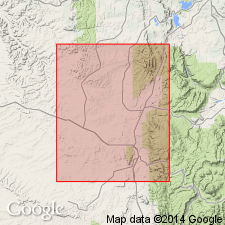
- San Juan basin
Summary:
Named as the upper member of San Jose Formation for exposures in upper drainage of Tapicitos Creek and near Tapicitos P.O., Rio Arriba Co, NM in San Juan basin. Type section measured in secs 1, 2, and 11, T25N, R2W where a section 251 ft thick representing the lower part is present. The upper part is estimated to be 120 ft thick. Present in northern part of Tapicitos Plateau. Composed of maroon and variegated shale and intercalated lenticular sandstone. Overlies and intertongues with Llaves Member (new) of San Jose. Of early Eocene age. Geologic map. Cross sections. Correlation chart. Measured sections.
Source: GNU records (USGS DDS-6; Denver GNULEX).
For more information, please contact Nancy Stamm, Geologic Names Committee Secretary.
Asterisk (*) indicates published by U.S. Geological Survey authors.
"No current usage" (†) implies that a name has been abandoned or has fallen into disuse. Former usage and, if known, replacement name given in parentheses ( ).
Slash (/) indicates name conflicts with nomenclatural guidelines (CSN, 1933; ACSN, 1961, 1970; NACSN, 1983, 2005, 2021). May be explained within brackets ([ ]).