- Usage in publication:
-
- Tamarisk member*
- Modifications:
-
- Named
- Dominant lithology:
-
- Gypsum
- Anhydrite
- AAPG geologic province:
-
- Permian basin
Summary:
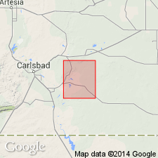
Named as a member (1 of 5 divisions) of Rustler formation. Overlies Culebra member of Rustler. Underlies Magenta member of Rustler. Forms a broad expanse of barren outcrop 2-3 mi wide and about 7 mi long east of Tamarisk Flat (source of name), T 22 S, R 29 E, Eddy Co., NM in the Permian basin. Consists of about 115 ft of massive, coarsely crystalline gypsum on the surface, but is chiefly anhydrite and locally gypsum in the subsurface, except for a 5 ft thick siltstone bed that lies about 20 ft above base of member. The gypsum crystals are 0.5 to 1.5 cm wide. Cores of well logs described. Mapped (geologic map) in the central western part of the quad (scale 1:62,500). Of Late Permian age.
Source: GNU records (USGS DDS-6; Denver GNULEX).
For more information, please contact Nancy Stamm, Geologic Names Committee Secretary.
Asterisk (*) indicates published by U.S. Geological Survey authors.
"No current usage" (†) implies that a name has been abandoned or has fallen into disuse. Former usage and, if known, replacement name given in parentheses ( ).
Slash (/) indicates name conflicts with nomenclatural guidelines (CSN, 1933; ACSN, 1961, 1970; NACSN, 1983, 2005, 2021). May be explained within brackets ([ ]).

