

- Usage in publication:
-
- Tallahassee Creek Conglomerate*
- Modifications:
-
- Named
- Dominant lithology:
-
- Conglomerate
- AAPG geologic province:
-
- Denver basin
Summary:
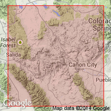
Named for exposures at junction of three forks of Tallahassee Creek in sec 31, T17S, R72W and sec 36, T17S, R73W, Cover Mountain and Black Mountain quads, Fremont Co, CO in the Denver basin. Is a poorly sorted, crudely stratified, partially consolidated accumulation of pebbles, cobbles, and boulders (as much as 5 ft in diameter) in a tuffaceous to arkosic, sandy and silty matrix. Fills paleovalleys cut into Wall Mountain Tuff, Echo Park Alluvium, and Precambrian basement. Is characterized by red, purple, and gray aphanitic and porphyritic volcanic clasts, gray and light-green cobbles and boulders of dense quartzite, and fewer clasts of Paleozoic limestone and dolomite. Is 350 ft thick at type. Underlies either lower member or tuff of Stirrup Ranch, both of Thirtynine Mile Andesite. Designation of early Oligocene age from stratigraphic position between two dated units. Replaces names Alnwick and High Park Lake Beds.
Source: GNU records (USGS DDS-6; Denver GNULEX).
- Usage in publication:
-
- Tallahassee Creek Conglomerate*
- Modifications:
-
- Mapped 1:62.5k (Teller Co, CO)
- Dominant lithology:
-
- Conglomerate
- AAPG geologic province:
-
- Denver basin
Summary:
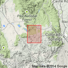
Is Oligocene formation mapped in western Teller Co, CO (Denver basin). Mostly overlies Cripple Creek Quartz Monzonite (Precambrian Y) unconformably. Map unit described as grayish-pink poorly sorted crudely stratified pebble and boulder conglomerate with tuffaceous and arkosic sandy matrix. Clasts are mainly red, purple, and gray volcanic rocks of intermediate composition and minor distinctive light-green, Wall Mountain Tuff (Oligocene), and Precambrian rocks. Major occurrence is in paleovalley south of Wrights Reservoir in southeastern part of quadrangle. [Thickness not given.]
Source: GNU records (USGS DDS-6; Denver GNULEX).
For more information, please contact Nancy Stamm, Geologic Names Committee Secretary.
Asterisk (*) indicates published by U.S. Geological Survey authors.
"No current usage" (†) implies that a name has been abandoned or has fallen into disuse. Former usage and, if known, replacement name given in parentheses ( ).
Slash (/) indicates name conflicts with nomenclatural guidelines (CSN, 1933; ACSN, 1961, 1970; NACSN, 1983, 2005, 2021). May be explained within brackets ([ ]).