- Usage in publication:
-
- Sutter formation
- Modifications:
-
- Named
- Dominant lithology:
-
- Ash
- Rhyolite
- Tuff
- Conglomerate
- AAPG geologic province:
-
- Sacramento basin
Summary:
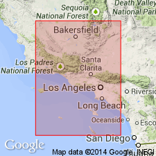
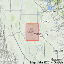
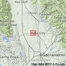
Named for occurrence in Sutter Co, CA in Marysville Buttes [also known as Sutter Buttes]. One of best exposures is on ridge one mile southwest of West Butte. Is chiefly rhyolitic tuff-breccia, thin flows of rhyolite, and conglomerate. Is 500 to 600 feet thick. Unconformably overlies Chico [sandstone] and Tejon [group]. Unconformably underlies lava flows and mud flows which consists of andesitic material.
Source: GNU records (USGS DDS-6; Menlo GNULEX).

- Usage in publication:
-
- Sutter formation
- Modifications:
-
- Overview
- AAPG geologic province:
-
- Sacramento basin
Summary:
Most complete and typical section of Sutter formation is along West Butte Pass adjacent to road bridge that lies due south of South Butte of Marysville Buttes, Sutter Co, CA. Is composed principally of washed rhyolite tuffs, overlain by pyroxene and hornblende-pyroxene andesite tuffs, the pyroclastic material being admixed and interbedded with sands, clays, and gravels. Origin and distribution are discussed. Map legend gives age as Miocene and Pliocene(?) based on correlation with San Pablo group.
Source: GNU records (USGS DDS-6; Menlo GNULEX).

- Usage in publication:
-
- Sutter formation*
- Modifications:
-
- Adopted
- Revised
- Age modified
- AAPG geologic province:
-
- Sacramento basin
Summary:
Sutter formation of Dickerson (1916) is adopted. Revised to include Butte gravel member at its base. Rocks of Butte gravel member were in part the Butte gravels of Williams (1929). Age given as late Tertiary.
Source: GNU records (USGS DDS-6; Menlo GNULEX).

- Usage in publication:
-
- Sutter formation
- Modifications:
-
- Age modified
- Biostratigraphic dating
- AAPG geologic province:
-
- Sacramento basin
Summary:
[Authors do not include Butte gravels as part of Sutter formation]. Age of rhyolite tuffs of Sutter formation is late Oligocene or early Miocene based on correlation with rhyolite tuffs of Valley Springs. Age of andesitic mudflow deposit is Miocene and Pliocene. Horseteeth from DINOHIPPUS MEXICANUS collected from upper part of Sutter formation south of West Butte Pass road and identified by Donald Savage is latest Pliocene (late Hemphillian) in age. Hence Sutter formation ranges from Oligocene(?) to Pliocene in age.
Source: GNU records (USGS DDS-6; Menlo GNULEX).
For more information, please contact Nancy Stamm, Geologic Names Committee Secretary.
Asterisk (*) indicates published by U.S. Geological Survey authors.
"No current usage" (†) implies that a name has been abandoned or has fallen into disuse. Former usage and, if known, replacement name given in parentheses ( ).
Slash (/) indicates name conflicts with nomenclatural guidelines (CSN, 1933; ACSN, 1961, 1970; NACSN, 1983, 2005, 2021). May be explained within brackets ([ ]).

