The National Geologic Map Database is migrating to a new infrastructure. We apologize for any service disruptions during this process.
|
|---|


- Usage in publication:
-
- Split Rock Creek Formation
- Modifications:
-
- Named
- Dominant lithology:
-
- Diamictite
- Sandstone
- AAPG geologic province:
-
- Sioux uplift
Summary:
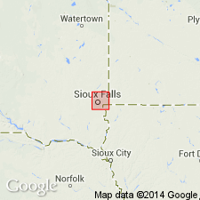
Named for exposures along banks of Split Rock Creek, Minnehaha Co, SD on the Sioux uplift. No type section designated. Restricted to an 80 sq mi area in southeast SD. Divisible into friable sandstone, laminated claystone with carbonaceous debris, laminated organic opaline spiculite, bioturbated organic opaline spiculite, and variably cherty spiculite on cross sections. Consists of sandy diamictites and friable quartz sandstone overlain by dark-gray, laminated, organic claystone which grades upward into opaline sediments and massive cherts. Is 100 m thick. Unconformably overlies late Precambrian Sioux Quartzite at some localities and on Precambrian Corson Diabase at other localities. Thought to be a basin-fill deposit of marine origin, probably equivalent to Niobrara Formation. Known in surface and in subsurface. Non-diagnostic fossils (fish scales and sequoia twig molds range from Late Jurassic to Holocene) and sponge spicules, radiolarians, gastropods, foraminifers, pelecypods, and crustaceans. Assigned to the Late Cretaceous. Cross sections.
Source: GNU records (USGS DDS-6; Denver GNULEX).
- Usage in publication:
-
- Split Rock Creek Formation
- Modifications:
-
- Overview
- AAPG geologic province:
-
- Sioux uplift
Summary:
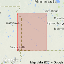
Areally restricted to southeast SD, Sioux uplift. Unconformably overlies Precambrian. Composed of coarse- and fine-grained terrigenous rocks overlain by biogenic siliceous strata and bentonite. Records rapid facies change across a steep shoreline along Sioux ridge during Late Cretaceous. Forams, land plant debris. Accumulated in broad valley incised into south flank of ridge. At least one other paleochannel located in subsurface on north flank of ridge. Is a nearshore facies equivalent to Niobrara Formation and lower part of Pierre Shale. Correlation chart. Of middle Coniacian, Santonian and early Campanian, Late Cretaceous age.
Source: GNU records (USGS DDS-6; Denver GNULEX).
- Usage in publication:
-
- Split Rock Creek Formation
- Modifications:
-
- Areal extent
- AAPG geologic province:
-
- Sioux uplift
Summary:
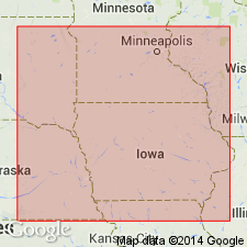
Late Cretaceous Split Rock Creek Formation is inferred to exist in Rock Co, southwestern MN on basis of descriptions in water-well records and the fact of its occurrence in SD in similar embayment and nearshore environments along the paleoshoreline of Sioux Ridge. Thicknesses vary, exceeding 90 m (300 ft) at some locations in SD [type locality state]. In MN, record of a well drilled for village of Hills (in Rock Co) indicates an 8 m (26 ft) interval of hard, silica-cemented sandstone with thin interbeds of black shale. Because the well lies within confines of an embayment in Sioux Ridge quartzite, the interval probably represents strata of the Split Rock Creek. Report includes geologic sketch map and correlation charts.
Source: GNU records (USGS DDS-6; Reston GNULEX).
For more information, please contact Nancy Stamm, Geologic Names Committee Secretary.
Asterisk (*) indicates published by U.S. Geological Survey authors.
"No current usage" (†) implies that a name has been abandoned or has fallen into disuse. Former usage and, if known, replacement name given in parentheses ( ).
Slash (/) indicates name conflicts with nomenclatural guidelines (CSN, 1933; ACSN, 1961, 1970; NACSN, 1983, 2005, 2021). May be explained within brackets ([ ]).