

- Usage in publication:
-
- Solomon Temple Member
- Modifications:
-
- Named
- Dominant lithology:
-
- Siltstone
- Sandstone
- AAPG geologic province:
-
- Southern Rocky Mountain region
Summary:
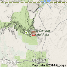
Named as one of four new members of Dox Formation (redefined) of Unkar Group [of Grand Canyon Supergroup] for Solomon Temple. Type section designated 2.4 km northeast of Solomon Temple, west side of Grand Canyon of the Colorado River, south of Unkar Creek, Coconino Co, AZ in the Southern Rocky Mountain region. Is 280 m thick, composed of: red and maroon shaly micaceous siltstone and red to reddish-brown, fine-grained sandstone in the lower part; and dark-red micaceous, mostly fine-grained and, rarely, medium-grained channel sandstones in the upper part. Overlies Escalante Creek Member (new). Underlies Comanche Point Member (new). Thought to be an interdistributary-floodplain unit. Of late Precambrian age. Geologic map.
Source: GNU records (USGS DDS-6; Denver GNULEX).
For more information, please contact Nancy Stamm, Geologic Names Committee Secretary.
Asterisk (*) indicates published by U.S. Geological Survey authors.
"No current usage" (†) implies that a name has been abandoned or has fallen into disuse. Former usage and, if known, replacement name given in parentheses ( ).
Slash (/) indicates name conflicts with nomenclatural guidelines (CSN, 1933; ACSN, 1961, 1970; NACSN, 1983, 2005, 2021). May be explained within brackets ([ ]).