

- Usage in publication:
-
- Slana Spur Formation*
- Modifications:
-
- Named
- Biostratigraphic dating
- Dominant lithology:
-
- Volcaniclastics
- AAPG geologic province:
-
- Alaska Southern region
Summary:
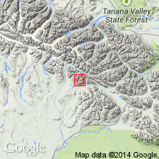
Named as formation in Mankomen Group (newly defined). Type locality designated as Eagle Creek valley and adjacent Slana Spur, secs.1 and 12 T14N R5E, sec.6 T14N R6E, secs.26 and 34 T15N R5E, and sec.31 T15N R6E, Mt. Hayes A-1 (1:63,360) quad, eastern Alaska Range, south-central AK. Divided into lower volcaniclastic member (3100 ft thick) and upper calcareous volcaniclastic member (1450 ft thick). Color ranges from dark-gray, dark-green, to maroon. Total thickness is about 4,550 ft. Measured sections with fossil assemblages included in report. Conformably overlies Tetelna Volcanics; conformably underlies Eagle Creek Formation (new) (Mankomen Group). Age is Middle Pennsylvanian (probable Atokan) to Early Permian (Sakmarian) based on foraminifers and brachiopods.
Source: GNU records (USGS DDS-6; Menlo GNULEX).
- Usage in publication:
-
- Slana Spur Formation*
- Modifications:
-
- Age modified
- AAPG geologic province:
-
- Alaska Southern region
Summary:
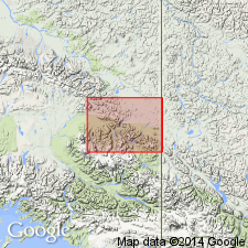
Shown on geologic map of Nabesna quad where unit is 0 to 300 m thick. Only Early Permian fossils (brachiopods) and corals) collected from Nabesna quad. [Therefore unit is Early Permian only in Nabesna quad.]
Source: GNU records (USGS DDS-6; Menlo GNULEX).
For more information, please contact Nancy Stamm, Geologic Names Committee Secretary.
Asterisk (*) indicates published by U.S. Geological Survey authors.
"No current usage" (†) implies that a name has been abandoned or has fallen into disuse. Former usage and, if known, replacement name given in parentheses ( ).
Slash (/) indicates name conflicts with nomenclatural guidelines (CSN, 1933; ACSN, 1961, 1970; NACSN, 1983, 2005, 2021). May be explained within brackets ([ ]).