

- Usage in publication:
-
- Siamo slate*
- Modifications:
-
- Named
- Dominant lithology:
-
- Slate
- Graywacke
- AAPG geologic province:
-
- Lake Superior region
Summary:
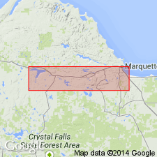
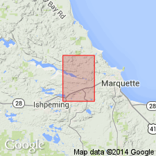
Is Algonkian formation (5th of 6 ascending) named in Lower Marquette series and mapped (pl XIII) in broad area southwest of Marquette, MI (Lake Superior region) comprising part of a great westward-plunging syncline. Is named for exposure "on Siamo Hill just south of the west part of Teal Lake." Siamo Hills shown on map in secs 35 T48N, R27W, Marquette Co., MI. Overlies Ajibik quartzite (new); overlain by Negaunee formation (new); thickness appears to range between 200 and 1250 ft, although half the latter figure is more probable due to structural complications. Unit "***varies from a coarse-grained feldspathic graywacke approaching a quartzite, through typical massive graywacke, to a very fine-grained slaty rock. The slate and fine-grained graywackes are more abundant than the coarse, feldspathic graywackes." Unit is soft and generally not well exposed.
Source: GNU records (USGS DDS-6; Reston GNULEX).
- Usage in publication:
-
- Siamo Slate*
- Modifications:
-
- Age modified
- AAPG geologic province:
-
- Lake Superior region
- Wisconsin arch
Summary:
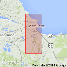
Pg. 48-49. Siamo Slate. Placed in the Menominee Group of the Animikie series. Poorly exposed in the study area, Marquette and Sands 7.5-min quadrangles, Marquette County, northwestern Michigan (Lake Superior region). Mainly laminated and nonlaminated dark argillaceous slate having subordinate interbedded dark quartz-rich rocks. Estimated thickness 600 to 1,250 feet (citing Van Hise and Bayley, 1895). Believed to lie conformably on Ajibik Quartzite of Menominee Group. Mapped from top of massive light-colored quartzite to stratigraphically lowest beds of Negaunee Iron-Formation (exposed west of study area). Age is considered middle Precambrian (Animikie Series) [based on stratigraphic position].
Source: Publication; Changes in stratigraphic nomenclature, 1968 (USGS Bull. 1294-A, p. A16).
- Usage in publication:
-
- Siamo Slate*
- Modifications:
-
- Overview
- AAPG geologic province:
-
- Lake Superior region
Summary:
Pg. 2845 (fig. 2, stratigraphic chart compiled from Leith and others, 1935; James, 1958; Gair and Thaden, 1968). Siamo Slate of Menominee Group of Marquette Range Supergroup (new; replaces †Animikie series of James, 1958, south of Lake Superior, in Michigan and Wisconsin). Present in Marquette Range, northwestern Michigan. Overlies Ajibik Quartzite and underlies Negaunee Iron-Formation, both of Menominee Group. Age is middle Precambrian.
Source: Publication.
- Usage in publication:
-
- Siamo Slate*
- Modifications:
-
- Overview
- AAPG geologic province:
-
- Lake Superior region
Summary:
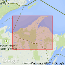
Is mapped together with underlying Ajibik Quartzite, both of Menominee Group in Marquette Range Supergroup, Marquette Co, MI (Lake Superior region). Combined map unit described as follows: very poorly exposed units ranging from vitreous quartzite to slate or schist. By analogy with nearby areas of more complete exposure, quartzite is probably most abundant near base and slate or schist more abundant in higher parts of section. Quartzite is thick-bedded (6 in to 1 ft) and is largely 0.1 to 0.2 mm quartz grains, some with preserved clastic outlines. Also contains smaller amounts of muscovite, biotite and garnet, and thin seams rich in magnetite. Sphene and carbonate are accessory minerals. Argillaceous units vary from quartz-chlorite-biotite slate in low metamorphic grade to quartz-biotite-garnet schist at higher grade. Map unit is in fault contact with Precambrian W rocks and grades up into the Negaunee Iron-formation through a zone rich in grunerite and magnetite. Thickness of map unit 200-400 ft. Precambrian X.
Source: GNU records (USGS DDS-6; Reston GNULEX).
- Usage in publication:
-
- Siamo Slate*
- Modifications:
-
- Overview
- Dominant lithology:
-
- Slate
- Graywacke
- Conglomerate
- AAPG geologic province:
-
- Lake Superior region
Summary:
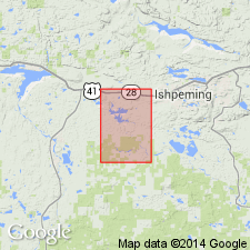
Is middle Precambrian formation in middle of Menominee Group of Marquette Range Supergroup. Is mapped as a belt about 2 mi wide across southern part of Negaunee quadrangle, Marquette Co, MI (Lake Superior region). Overlies Ajibik Quartzite; overlain by Negaunee Iron-formation. Map unit described as dark-gray thin-bedded slate, weathers gray to brown. Beds of massive graywacke; some containing abundant mud chips; as much as 10 ft thick in some exposures. Rusty-brown-weathering seams mark carbonate-rich beds. Magnetic unit in lower part (Goose Lake Member?) not exposed but indicated by magnetic anomaly. Conglomerate beds in upper part. Clastic dikes conspicuous in some exposures. Upper contact gradational. Is 1,500-2,000 ft thick.
Source: GNU records (USGS DDS-6; Reston GNULEX).
For more information, please contact Nancy Stamm, Geologic Names Committee Secretary.
Asterisk (*) indicates published by U.S. Geological Survey authors.
"No current usage" (†) implies that a name has been abandoned or has fallen into disuse. Former usage and, if known, replacement name given in parentheses ( ).
Slash (/) indicates name conflicts with nomenclatural guidelines (CSN, 1933; ACSN, 1961, 1970; NACSN, 1983, 2005, 2021). May be explained within brackets ([ ]).