

- Usage in publication:
-
- Sheep Spring Rhyolite*
- Modifications:
-
- Named
- Geochronologic dating
- Dominant lithology:
-
- Rhyolite
- AAPG geologic province:
-
- Great Basin province
Summary:
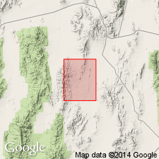
Named for Sheep Spring along upper reaches of Ninemile Canyon, Eureka Co, NV. Type section designated as exposures on west side of Ninemile Canyon, secs.16-17 T15N R51E, Cockalorum Wash 15' quad, Eureka Co, NV. Consists of several flows of brown flow-banded stony rhyolite. Thickness is as much as 400 m. Unconformably overlies units as old as Early Ordovician. Unconformably underlies Mulligan Canyon Rhyolite (new). Age is Oligocene based on K-Ar determinations of 37.6 +/-1.0 Ma and 36.5 +/-0.7 Ma obtained by E.H. McKee (written commun., 1977).
Source: GNU records (USGS DDS-6; Menlo GNULEX).
For more information, please contact Nancy Stamm, Geologic Names Committee Secretary.
Asterisk (*) indicates published by U.S. Geological Survey authors.
"No current usage" (†) implies that a name has been abandoned or has fallen into disuse. Former usage and, if known, replacement name given in parentheses ( ).
Slash (/) indicates name conflicts with nomenclatural guidelines (CSN, 1933; ACSN, 1961, 1970; NACSN, 1983, 2005, 2021). May be explained within brackets ([ ]).