- Usage in publication:
-
- Shakopee dolomite
- Modifications:
-
- Overview
- Dominant lithology:
-
- Dolomite
- AAPG geologic province:
-
- Sioux uplift
Summary:
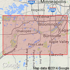
Type section near town of Shakopee, Scott Co, MN on the Sioux uplift, remeasured and redescribed. Winchell (1872) measured about 22 ft of Shakopee at Shakopee. This author assigned (section supplemented with information from a log at the Shakopee Water Works) 38 ft of gray to brown, thin-bedded to massive dolomite above the New Richmond? sandstone to Shakopee. Is overlain by the St. Peter sandstone; the contact is probably an unconformity. Thickness is variable. Is nearly 200 ft thick at some localities in IA. Fossils (mollusks) listed. Of Late Cambrian, St. Croixan age.
Source: GNU records (USGS DDS-6; Denver GNULEX).
For more information, please contact Nancy Stamm, Geologic Names Committee Secretary.
Asterisk (*) indicates published by U.S. Geological Survey authors.
"No current usage" (†) implies that a name has been abandoned or has fallen into disuse. Former usage and, if known, replacement name given in parentheses ( ).
Slash (/) indicates name conflicts with nomenclatural guidelines (CSN, 1933; ACSN, 1961, 1970; NACSN, 1983, 2005, 2021). May be explained within brackets ([ ]).

