

- Usage in publication:
-
- Santa Catalina formation
- Modifications:
-
- Named
- Dominant lithology:
-
- Sandstone
- AAPG geologic province:
-
- Basin-and-Range province
Summary:
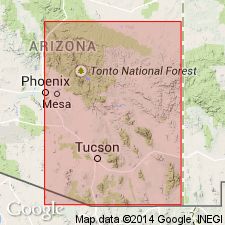
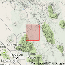
Named presumably for Santa Catalina Mountains, AZ. Type locality in Peppersauce Canyon on the north side of the Santa Catalina Mountains in the Basin-and-Range province. Consists of quartzites, sandstones, and shales. Is 415 ft thick. Overlies Troy quartzite. Overlain by Southern Belle quartzite. In Ash Canyon of Gila River is 80 ft thick and overlain by Devonian limestone. Is of Middle Cambrian age.
Source: GNU records (USGS DDS-6; Denver GNULEX).
- Usage in publication:
-
- Santa Catalina Formation*†
- Modifications:
-
- Abandoned
Summary:
Not accepted because name is preempted for use as the Santa Catalina Gneiss of Blake (1908). Unit is replaced by Three C Member of Abrigo Formation in Mammoth quadrangle, Pinal Co, AZ in the Basin-and-Range province. Is of Cambrian age.
Source: GNU records (USGS DDS-6; Denver GNULEX).
For more information, please contact Nancy Stamm, Geologic Names Committee Secretary.
Asterisk (*) indicates published by U.S. Geological Survey authors.
"No current usage" (†) implies that a name has been abandoned or has fallen into disuse. Former usage and, if known, replacement name given in parentheses ( ).
Slash (/) indicates name conflicts with nomenclatural guidelines (CSN, 1933; ACSN, 1961, 1970; NACSN, 1983, 2005, 2021). May be explained within brackets ([ ]).