

- Usage in publication:
-
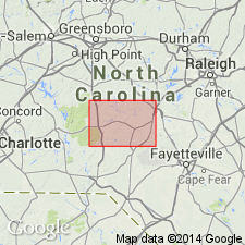
- Sanford formation
- Modifications:
-
- Named
- Dominant lithology:
-
- Conglomerate
- Sandstone
- Shale
- AAPG geologic province:
-
- Piedmont-Blue Ridge province
Summary:
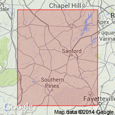
The Sanford formation of the Newark group is here named for red conglomerate, sandstone, and shale above the Cumnock Formation. It outcrops in the eastern part of the Deep River coal field. Thickness is 4,000 to 5,000 ft.
Source: GNU records (USGS DDS-6; Reston GNULEX).
- Usage in publication:
-
- Sanford formation*
- Modifications:
-
- Overview
- AAPG geologic province:
-
- Piedmont-Blue Ridge province
Summary:
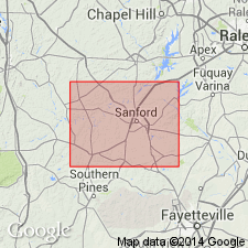
The Sanford formation of the Newark group is adopted for USGS use. It conformably overlies the Cumnock formation in the eastern part of the Sanford basin and the southern part of the Durham basin, but appears to lie unconformably on the Pekin formation in the Colon cross structure.
Source: GNU records (USGS DDS-6; Reston GNULEX).
- Usage in publication:
-
- Sanford Formation
- Modifications:
-
- Age modified
- Biostratigraphic dating
- AAPG geologic province:
-
- Piedmont-Blue Ridge province
Summary:
The age of the Sanford Formation is late Carnian based on palynoflora in the Pekin and Cumnock Formations.
Source: GNU records (USGS DDS-6; Reston GNULEX).
- Usage in publication:
-
- Sanford Formation
- Modifications:
-
- Revised
- AAPG geologic province:
-
- Piedmont-Blue Ridge province
Summary:
The Sanford Formation is here assigned to the Chatham Group of the Newark Supergroup.
Source: GNU records (USGS DDS-6; Reston GNULEX).
- Usage in publication:
-
- Sanford Formation*
- Modifications:
-
- Age modified
- Biostratigraphic dating
- AAPG geologic province:
-
- Piedmont-Blue Ridge province
Summary:
This report revises the ages of the Chatham Group rocks. Late Carnian palynomorphs in Wadesboro subbasin attributed to the type Pekin Formation (lowest of the Chatham Group) extend the age of the Pekin into the late Carnian. Late Carnian palynomorphs were also identified in the Cumnock Formation in the Sanford subbasin, thus confirming the age of the Cumnock. Plant megafossil and fossil vertebrate data from rocks in the Sanford subbasin also support these ages. Although the Sanford Formation has not been dated paleontologically, it must extend into the lower Norian on the basis of lithologic correlation with the Stoneville Formation of the Danville-Dan River basin 100 km to the northeast. The upper part of the Stoneville contains early Norian palynomorphs. This evidence indicates that Chatham Group sediments were deposited from the early(?) Carnian through the early Norian, a much longer interval than previously thought.
Source: GNU records (USGS DDS-6; Reston GNULEX).
For more information, please contact Nancy Stamm, Geologic Names Committee Secretary.
Asterisk (*) indicates published by U.S. Geological Survey authors.
"No current usage" (†) implies that a name has been abandoned or has fallen into disuse. Former usage and, if known, replacement name given in parentheses ( ).
Slash (/) indicates name conflicts with nomenclatural guidelines (CSN, 1933; ACSN, 1961, 1970; NACSN, 1983, 2005, 2021). May be explained within brackets ([ ]).