

- Usage in publication:
-
- Ruddell shale*
- Modifications:
-
- Overview
- Dominant lithology:
-
- Shale
- AAPG geologic province:
-
- Arkoma basin
Summary:
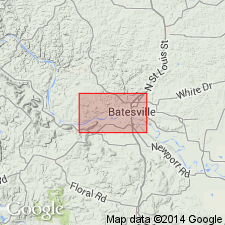
Type locality designated on west end of Ruddell Hill near Ruddell's mill in Ruddell civil township, Independence Co, AR, Arkoma basin. Outcrops in central part of study area, parallel to White River. Described as dark-gray and green fissile clay shale weathering to red. Thickness is 120-272 ft. Conformably overlies Moorefield formation; about 5 mi northwest of study area, Ruddell lies unconformably upon Boone chert. Underlies Batesville sandstone. Typical fossils listed. Tentatively correlated with St. Genevieve limestone of Meramec group of central Mississippi Valley. Shows correlations in three wells near Batesville. Assigned Mississippian age.
Source: GNU records (USGS DDS-6; Denver GNULEX).
- Usage in publication:
-
- Ruddell shale*
- Modifications:
-
- Named
- Dominant lithology:
-
- Shale
- Clay
- AAPG geologic province:
-
- Arkoma basin
Summary:
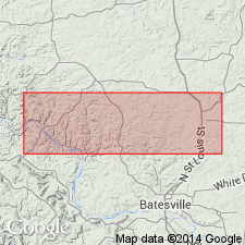
Name proposed for section of fissile clay shales between top siliceous limestone bed of underlying Moorefield formation (revised) and base of overlying Batesville sandstone. Probably named for Ruddell Hill where unit is well exposed on the west end. Ruddell Hill is located in Ruddell civil township near Ruddell's mill, Independence, Co, AR, Arkoma basin. Type locality not designated though unit is nearly completely exposed along Batesville-Bethesda road in NE/4 NE/4 sec 13, T7N, R13W. Numerous outcrops including on south bank of White River south of Batesville; south of Moorefield along Batesville-Newark road; north of Moorefield fault; in patches along Pfeiffer fault; and around Bracy Mountain, Childers Mountain, and Bethesda plateau. Other workers have mapped shale to west at St. Joe, Searcy Co, AR and Mt. Judea, Newton Co, AR. Typically consists of dark gray to greenish gray, fissile clay shale weathering to red clay. Thickens southeastward. At type, Ruddell is 125 ft thick; ranges from 115-185 ft thick in outcrop and is 272 ft thick in subsurface. Conformably overlies Moorefield though in vicinity of O'Neal, Ruddell overlaps Moorefield and unconformably overlies Boone chert. Conformably underlies Batesville. Contains sparse fossils including goniatites; fossil list. Tentatively correlates with Ste. Genevieve limestone of Mississippi Valley. Assigned middle late Visean (Carboniferous) age based on fossils.
Source: GNU records (USGS DDS-6; Denver GNULEX).
- Usage in publication:
-
- Ruddell Shale†
- Modifications:
-
- Abandoned
Summary:
Term Moorefield Formation used in this report to include rocks that Gordon (1944) removed from the upper part of Moorefield and named Ruddell Shale. Author of this report cannot recognize the "contact" described by Gordon as existing between his Ruddell and his restricted Moorefield; he believes the contact as placed by Gordon is neither consistent nor traceable. Name Ruddell Shale abandoned. Nomenclature chart.
Source: GNU records (USGS DDS-6; Denver GNULEX).
For more information, please contact Nancy Stamm, Geologic Names Committee Secretary.
Asterisk (*) indicates published by U.S. Geological Survey authors.
"No current usage" (†) implies that a name has been abandoned or has fallen into disuse. Former usage and, if known, replacement name given in parentheses ( ).
Slash (/) indicates name conflicts with nomenclatural guidelines (CSN, 1933; ACSN, 1961, 1970; NACSN, 1983, 2005, 2021). May be explained within brackets ([ ]).