

- Usage in publication:
-
- Round Rock member*
- Modifications:
-
- Named
- Dominant lithology:
-
- Rhyolite
- Breccia
- Tuff
- AAPG geologic province:
-
- Great Basin province
Summary:
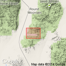
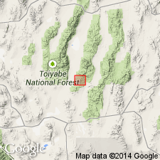
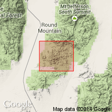
Named for exposures in vicinity of Round Rock, about 1 mi north of Manhattan, southern Toquima Range, Nye Co, NV. Is second from lowermost named member (of 4) of Esmeralda formation. Consists of light-gray pumiceous rhyolite and rhyolitic breccia and tuff with numerous inclusions. Overlies Hedwig breccia member; underlies Diamond King member (both new and of Esmeralda formation). Flows most common near base of member; middle part mostly pyroclastic; upper part breccia and flows at top. In places includes 80 ft thick quartzose sandstone at uppermost part that also includes some conglomerate. Maximum thickness is about 800 ft. Similar rocks occur outside Manhattan district between Willow and Baxter Spring and on Mustang and April Fool Hills. Age is probably late Miocene(?).
Source: GNU records (USGS DDS-6; Menlo GNULEX).
- Usage in publication:
-
- Round Rock Formation*
- Modifications:
-
- Revised
- Age modified
- Geochronologic dating
- AAPG geologic province:
-
- Great Basin province
Summary:
Round Rock Member (Esmeralda Formation) of Ferguson (1924) is raised to formational status and called Round Rock Formation due to miscorrelation with type Esmeralda. Base of formation not exposed; contact with overlying Diamond King Formation identical to that defined by Ferguson (1924) between his Round Rock and Diamond King Members. Round Rock outcrops confined to Manhattan caldera, interpreted as being erupted from same. Consists of a lower tuff member, with 2 associated megabreccias, megabreccia unit of Sloppy Gulch [= Hedwig Breccia Member of Ferguson, 1924] and megabreccia unit of Mariposa Canyon; middle megabreccia member; an upper tuff member, with 2 associated megabreccias, rhyolite megabreccia and megabreccia unit of Silver Creek. Rocks previously mapped in area as Oddie Rhyolite and informal hornblende and biotite andesite porphyry by Ferguson and Cathcart (1954) are not separate intrusive units but rather interlayered with middle member and are here reassigned to the middle member. Former Hedwig Breccia Member of Ferguson (1924) is abandoned and renamed megabreccia unit of Sloppy Gulch which is part of the lower member. Rocks interpreted as flows by Ferguson (1924) are here considered ash-fall tuffs. Age is latest Oligocene based on K-Ar (biotite) and fission track (zircon) ages.
Source: GNU records (USGS DDS-6; Menlo GNULEX).
- Usage in publication:
-
- Round Rock Formation*
- Modifications:
-
- Overview
- AAPG geologic province:
-
- Great Basin province
Summary:
Members and units of Round Rock Formation shown separately on map of Manhattan caldera (ascending): megabreccia unit of Sloppy Gulch and megabreccia unit of Mariposa Canyon (both parts of lower member), lower member (undivided), rhyolite plugs and dikes of middle member, middle member (undivided), rhyolite breccia and megabreccia units of Silver Creek (both parts of upper member), upper member (undivided). Detailed lithologic descriptions and discussion of megabreccia eruption included in study.
Source: GNU records (USGS DDS-6; Menlo GNULEX).
For more information, please contact Nancy Stamm, Geologic Names Committee Secretary.
Asterisk (*) indicates published by U.S. Geological Survey authors.
"No current usage" (†) implies that a name has been abandoned or has fallen into disuse. Former usage and, if known, replacement name given in parentheses ( ).
Slash (/) indicates name conflicts with nomenclatural guidelines (CSN, 1933; ACSN, 1961, 1970; NACSN, 1983, 2005, 2021). May be explained within brackets ([ ]).