

- Usage in publication:
-
- Rockwell formation*
- Modifications:
-
- Named
- Dominant lithology:
-
- Sandstone
- Shale
- Conglomerate
- AAPG geologic province:
-
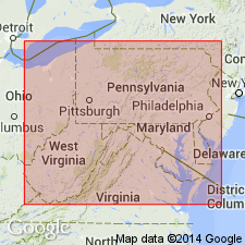
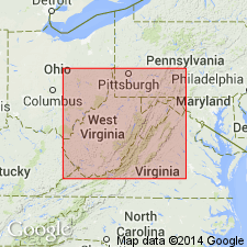
- Appalachian basin
Summary:
Rockwell formation, here named for exposures in Rockwell Run, WV, consists of soft arkosic sandstone, fine hard conglomerate, and buff hackly shale. In western part of report area contains crumbly dark gray carbonaceous shale with thin coal seams near base. Thickness ranges from 500 to 540 ft. Assigned as basal formation to Pocono Group. Underlies Purslane sandstone; overlies Catskill formation. Age is Mississippian.
Source: GNU records (USGS DDS-6; Reston GNULEX).
- Usage in publication:
-
- Rockwell member
- Modifications:
-
- Revised
- AAPG geologic province:
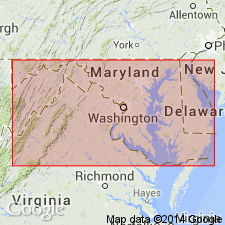
-
- Appalachian basin
Summary:
In western MD, the Pocono cannot be divided into five formations as elsewhere and therefore is treated as a formation which includes Rockwell as a member. Rockwell is 540 to 550 ft thick on Sideling Hill, Washington Co., MD. Underlies Purslane member of Pocono. Age is Early Mississippian.
Source: GNU records (USGS DDS-6; Reston GNULEX).
- Usage in publication:
-
- Rockwell Formation*
- Modifications:
-
- Areal extent
- AAPG geologic province:
-
- Appalachian basin
Summary:
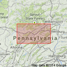
Rockwell Formation is here geographically extended into Centre Co., central PA. Unit is not assigned to Pocono Group in this area following State usage. Laterally equivalent to Huntley Mountain Formation (adopted) of north-central PA. Underlies Burgoon Sandstone; overlies Catskill Formation. Age is changed to Late Devonian and Early Mississippian.
Source: GNU records (USGS DDS-6; Reston GNULEX).
- Usage in publication:
-
- Rockwell Formation
- Modifications:
-
- Revised
- AAPG geologic province:
-
- Appalachian basin
Summary:
Rockwell Formation of Pocono Group includes Finzel tongue at base in western MD and southeastern PA. Finzel consists primarily of dark shales and siltstones. Contains brackish-water fauna and green-gray SKOLITHOS-burrowed sandstones. Type locality of Late Devonian Finzel tongue indicated on map as Finzel, Garret Co., MD.
Source: GNU records (USGS DDS-6; Reston GNULEX).
- Usage in publication:
-
- Rockwell Member
- Rockwell Formation
- Modifications:
-
- Principal reference
- Revised
- AAPG geologic province:
-
- Appalachian basin
Summary:
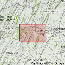
Rockwell removed from Pocono as latter is here abandoned in WV. In northern WV, Rockwell is reduced in rank to member and assigned to top of Price Formation (geographically extended) where it overlies Riddlesburg, Cussewago, and Oswayo Members. In eastern WV, western MD, and central and southwestern PA, Rockwell is retained at formation rank and includes Patton and Riddlesburg Shale Members. Principal reference section designated in new roadcut through Sideling Hill along U.S. Rte 40, 10.4 km west of Hancock, MD. Unconformably underlies Purslane Sandstone.
Source: GNU records (USGS DDS-6; Reston GNULEX).
- Usage in publication:
-
- Rockwell Formation
- Modifications:
-
- Overview
- Revised
- Dominant lithology:
-
- Diamict
- Siltstone
- AAPG geologic province:
-
- Appalachian basin
Summary:
Author proposes that Rockwell and Purslane Formations be used instead of Pocono in MD. Pocono of previous usage in study area is abandoned. Rockwell Formation is basal Mississippian unit in MD. Lithology of the Rockwell changes markedly to the west in MD. At Sideling Hill, 15 ft basal claystone overlain by 70 ft of diamictite, 28 ft of cross-bedded sandstone, and 130 ft of dark-gray siltstone and shale with coal beds at top. In western Allegany and Garrett Cos. consists predominantly of pebbly, cross-bedded sandstone containing brachiopods and bivalves. In this report, divided (ascending) Finzel Marine Tongue, lower nonmarine facies, Riddlesburg Member, and upper nonmarine facies. Lower contact with Hampshire placed at base of lowest thick (>10 ft) non-red interval. Upper contact redefined as base of 87-ft-thick sandstone now assigned to Purslane Formation. (Purslane previously called Patton Shale Member of Rockwell by Bjerstedt, 1986). Finzel Marine Tongue (of Dennison, 1986) present in Garret Co. only, where Devonian-Mississippian boundary is placed at top of Finzel. To east, boundary placed at Hampshire-Rockwell contact. Upper Rockwell is middle to late Kinderhookian.
Source: GNU records (USGS DDS-6; Reston GNULEX).

- Usage in publication:
-
- Rockwell Formation
- Modifications:
-
- Overview
- AAPG geologic province:
-
- Appalachian basin
Summary:
The Meadow Branch synclinorium, Berkley Co., WV, is composed of five formations: Rockwell, Purslane, Hedges, Myers, and Pinkerton, for many years assigned to the Pocono Group. The three basal units are retained as Early Mississippian (Kinderhookian and Osagean), while the Myers and Pinkerton are now considered Late Mississippian (Meramecian). The Rockwell is 200 m of fine- to coarse-grained sandstone (sublitharenite) with minor conglomerate. Siltstone and shale are common near top. Contains the distinctive 2-m-thick layer of diamictite near its base at the northern end of the synclinorium noted elsewhere by other workers. Riddlesburg Shale Member apparently absent in study area. Generally agreed by workers that Rockwell correlates with the lower Price Formation, Huntley Mountain Formation or the Spechty Kopf Formation.
Source: GNU records (USGS DDS-6; Reston GNULEX).
For more information, please contact Nancy Stamm, Geologic Names Committee Secretary.
Asterisk (*) indicates published by U.S. Geological Survey authors.
"No current usage" (†) implies that a name has been abandoned or has fallen into disuse. Former usage and, if known, replacement name given in parentheses ( ).
Slash (/) indicates name conflicts with nomenclatural guidelines (CSN, 1933; ACSN, 1961, 1970; NACSN, 1983, 2005, 2021). May be explained within brackets ([ ]).