

- Usage in publication:
-
- Reese formation*
- Modifications:
-
- Original reference
- Dominant lithology:
-
- Volcanics
- Conglomerate
- AAPG geologic province:
-
- Montana folded belt
Summary:
Pg. 412. Reese formation. Water-laid material mainly of volcanic origin and Eocene(?) age, unconformably overlying beds of Montana (Late Cretaceous) age and unconformably underlying igneous flows called Neocene in Yellowstone folio. Consists of (descending): coarsely conglomeratic strata; poorly exposed, 100 feet; coarsely cross-bedded sandy beds; light-colored nearly structureless beds, largely volcanic ash and andesitic pebbles; coarse to pebbly bedded sandstone of reworked volcanic material. Thickness 600 feet in Electric coal field.
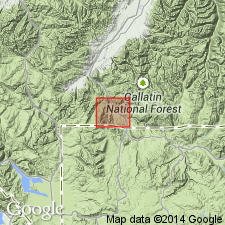
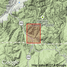
[Type locality: Reese Creek, Livingston quadrangle, Park Co., central southern MT.]
Source: US geologic names lexicon (USGS Bull. 896, p. 1793).
- Usage in publication:
-
- Reese Formation*
- Modifications:
-
- Not used
- AAPG geologic province:
-
- Montana folded belt
Summary:
Some rocks near Gardiner, Park Co, MT in the Montana folded belt province that were assigned to the Reese Formation by Calvert (1912). The lower 300 ft of the Reese is probably Late Cretaceous; the upper 300 ft of the Reese and an additional 500 ft of tuff and breccia are correlated with the Cathedral Cliffs Formation (new). If these correlations are correct, the Reese should be abandoned.
Source: GNU records (USGS DDS-6; Denver GNULEX).
- Usage in publication:
-
- Reese Formation
- Modifications:
-
- Not used
- AAPG geologic province:
-
- Montana folded belt
Summary:
Included in part of Landslide Creek Formation (new) of Late Cretaceous age, and in part of an unit mapped as dacitic breccia of Eocene age in the Montana folded belt province. Term Reese "should be dropped." Section measured at Reese Creek divided into Landslide Creek Formation, 372 ft thick, and the overlying dacitic breccia.
Source: GNU records (USGS DDS-6; Denver GNULEX).
For more information, please contact Nancy Stamm, Geologic Names Committee Secretary.
Asterisk (*) indicates published by U.S. Geological Survey authors.
"No current usage" (†) implies that a name has been abandoned or has fallen into disuse. Former usage and, if known, replacement name given in parentheses ( ).
Slash (/) indicates name conflicts with nomenclatural guidelines (CSN, 1933; ACSN, 1961, 1970; NACSN, 1983, 2005, 2021). May be explained within brackets ([ ]).