

- Usage in publication:
-
- Racer Canyon tuff
- Modifications:
-
- First used
- Dominant lithology:
-
- Tuff
- AAPG geologic province:
-
- Great Basin province
Summary:
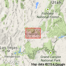
First published use as a name for a stratigraphically unranked unit in the Cove Mountain formation (first published use). Source of geographic name and type locality not stated. Name attributed to an unpublished thesis by Blank (1959). Considered to be the most important unit in the Cove Mountain. Consists of a succession of rhyolitic ignimbrites about 1,500 ft thick. Thought to be equivalent to Kane Point tuff, upper [stratigraphically unranked] unit of the Page Ranch formation. Racer Canyon is white, gray, pink, yellow, welded to nonwelded, vitric-crystal tuff in which red or purple lithic fragments are abundant and conspicuous. Weathers to spectacular hoodoos. Overlies and underlies unnamed units in the Cove Mountain. Not separately mapped from overlying and underlying parts of Cove Mountain on geologic maps. Tertiary arc. Stratigraphic chart.
Source: GNU records (USGS DDS-6; Denver GNULEX).
- Usage in publication:
-
- Racer Canyon Tuff*
- Modifications:
-
- Areal extent
- AAPG geologic province:
-
- Great Basin province
Summary:
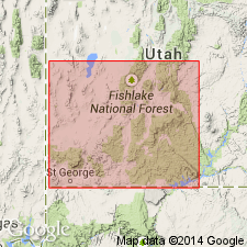
Name used in preference to Kane Point Tuff Member of Page Ranch Formation. Kane Point abandoned. Page Ranch restricted to rocks younger than Page Ranch Tuff and older than some unnamed basin fill sediments. Has an isotopic age of 19 m.y. Is a silicic, crystal-poor ash-flow tuff of significant areal extent up to 180 m thick. Source area is probably the Caliente cauldron complex. Correlation chart; identified on chart in Bull Valley Mountains, Pine Valley Mountains, and Iron Springs district, Washington Co., UT in the Great Basin province.
Source: GNU records (USGS DDS-6; Denver GNULEX).
- Usage in publication:
-
- Racer Canyon Tuff*
- Modifications:
-
- Overview
- AAPG geologic province:
-
- Great Basin province
Summary:
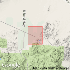
Is Miocene formation mapped east of Antelope Range fault zone, southern Antelope Range, eastern and southeastern part of quad, Iron Co, UT (Great Basin province). Overlies unnamed Miocene local volcanic rocks. Overlain by Miocene volcaniclastic rocks of Newcastle Reservoir. Map unit soft to resistant, light-gray to light-blue-gray, poorly to moderately welded, crystal-rich, rhyodacitic ash-flow tuff. In some places, generally at base of cooling units, includes minor beds parallel-bedded airfall tuff and cross-bedded pyroclastic-surge tuff. Contains locally abundant cognate pumice. Contains 1-6% conspicuous, mostly dark-brown and dark-gray, subangular lithic clasts mostly <5 cm long and of vesicular, crystal-poor flow rock. Tuff consists of 20-35% phenocrysts of plagioclase and quartz, subordinate sanidine, biotite, and Fe-Ti oxides, and traces of clinopyroxene, hornblende, sphene (Siders, Shubat, 1988). Quartz crystals locally large (though generally <5 mm), deeply resorbed, and light-purple or smoky color. Consists of at least 3 ash-flow cooling units, described in detail. Historical discussion presented. Authors suggest source caldera in eastern part of Caliente caldera complex. Unit similar in lithology and age to Hiko Tuff of Dolgoff (1963). Summary of published isotopic ages (recalculated, where necessary, using IUGS decay constants) range 18.7-20.8 Ma. Thickness highly variable; maximum thickness in mapped area about 250 m.
Source: GNU records (USGS DDS-6; Denver GNULEX).
For more information, please contact Nancy Stamm, Geologic Names Committee Secretary.
Asterisk (*) indicates published by U.S. Geological Survey authors.
"No current usage" (†) implies that a name has been abandoned or has fallen into disuse. Former usage and, if known, replacement name given in parentheses ( ).
Slash (/) indicates name conflicts with nomenclatural guidelines (CSN, 1933; ACSN, 1961, 1970; NACSN, 1983, 2005, 2021). May be explained within brackets ([ ]).