

- Usage in publication:
-
- Quail Lake Formation*
- Modifications:
-
- Named
- Biostratigraphic dating
- Dominant lithology:
-
- Shale
- Sandstone
- Conglomerate
- AAPG geologic province:
-
- Mojave basin
Summary:
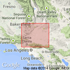
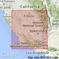
Named for Quail Lake. Formerly referred to as Santa Margarita Formation by Wiese (1950) and Crowell (1952). Type section designated from point 2.5 mi N 60 deg W of center of Quail Lake eastward down ridge for 1.5 mi, Los Angeles Co, CA. Exposed northeast of San Andreas fault, in hills northwest of Quail Lake, and in hills to southeast near La Liebre Ranch. Consists of marine and brackish-water sequence of shale, sandstone, and conglomerate. Is 2550 ft thick at type section. Unconformably overlies Neenach Volcanic Formation (new) and Mesozoic granite. Gradationally underlies Oso Canyon Formation (new). Age is late Miocene based on marine molluscan and echinoid fossils from beds in Oso Canyon and vicinity.
Source: GNU records (USGS DDS-6; Menlo GNULEX).
- Usage in publication:
-
- Quail Lake Formation†
- Modifications:
-
- Abandoned
- AAPG geologic province:
-
- Mojave basin
Summary:
Quail Lake Formation of Dibblee (1967) is abandoned. Its rocks are here reassigned to the Santa Margarita Formation.
Source: GNU records (USGS DDS-6; Menlo GNULEX).
For more information, please contact Nancy Stamm, Geologic Names Committee Secretary.
Asterisk (*) indicates published by U.S. Geological Survey authors.
"No current usage" (†) implies that a name has been abandoned or has fallen into disuse. Former usage and, if known, replacement name given in parentheses ( ).
Slash (/) indicates name conflicts with nomenclatural guidelines (CSN, 1933; ACSN, 1961, 1970; NACSN, 1983, 2005, 2021). May be explained within brackets ([ ]).